Longwood, Missouri
| Longwood, Missouri | |
|---|---|
| Unincorporated community | |
  Longwood, Missouri | |
| Coordinates: 38°53′57″N 93°10′12″W / 38.89917°N 93.17000°WCoordinates: 38°53′57″N 93°10′12″W / 38.89917°N 93.17000°W | |
| Country | United States |
| State | Missouri |
| County | Pettis |
| Elevation | 801 ft (244 m) |
| Time zone | Central (CST) (UTC-6) |
| • Summer (DST) | CDT (UTC-5) |
| Area code(s) | 660 |
| GNIS feature ID | 729770[1] |
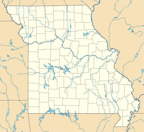
Longwood (also Hermantown or Oak Grove) is an unincorporated community in Pettis County, Missouri, United States. It is located at 38°53′57″N 93°10′12″W / 38.89917°N 93.17000°W (38.8991855, -93.1699257), and its altitude is 801 feet (244 m).[2]
A post office called Longwood was established in 1837, and remained in operation until 1957.[3] The community was named after Longwood, Saint Helena, the location of Napoleon's second exile from 1815 until his death.[4]
References
- ↑ "US Board on Geographic Names". United States Geological Survey. 2007-10-25. Retrieved 2008-01-31.
- ↑ U.S. Geological Survey Geographic Names Information System: Longwood, Missouri
- ↑ "Post Offices". Jim Forte Postal History. Retrieved 27 November 2016.
- ↑ "Pettis County Place Names, 1928–1945". The State Historical Society of Missouri. Archived from the original on June 24, 2016. Retrieved November 27, 2016.
Municipalities and communities of Pettis County, Missouri, United States | ||
|---|---|---|
| Cities | 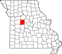 | |
| Villages | ||
| Townships |
| |
| Unincorporated communities | ||
| Ghost towns | ||
| Footnotes | ‡This populated place also has portions in an adjacent county or counties | |
This article is issued from Wikipedia - version of the 12/4/2016. The text is available under the Creative Commons Attribution/Share Alike but additional terms may apply for the media files.