Lovelaceville, Kentucky
| Lovelaceville, Kentucky | |
|---|---|
| Census-designated place (CDP) | |
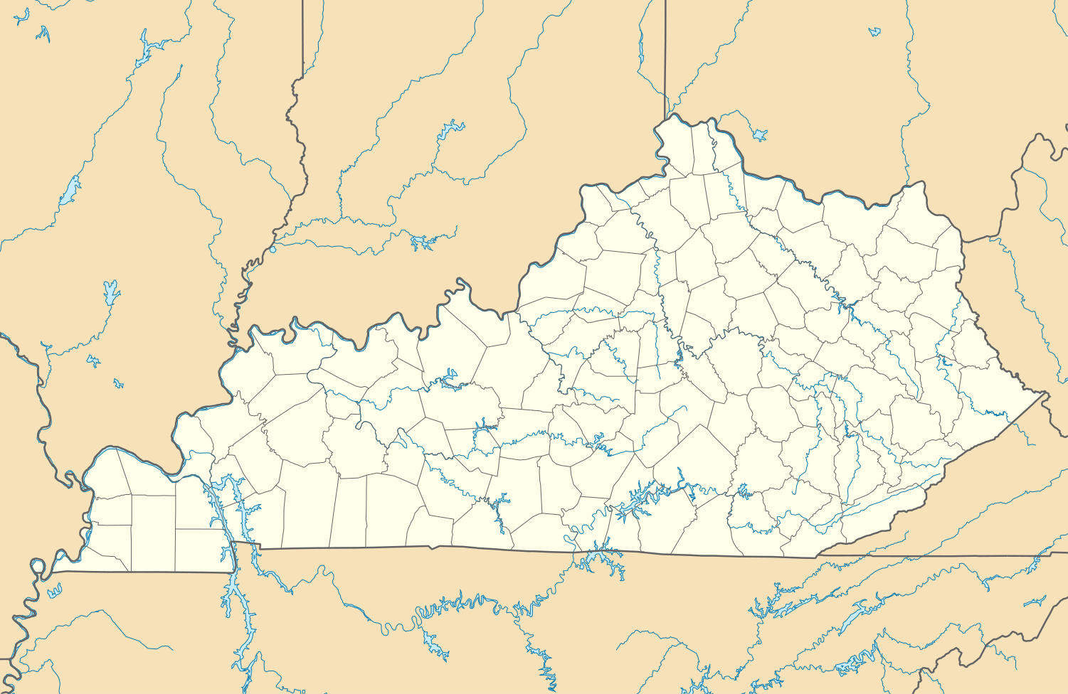  Lovelaceville, Kentucky Location within the state of Kentucky | |
| Coordinates: 36°58′3″N 88°49′55″W / 36.96750°N 88.83194°WCoordinates: 36°58′3″N 88°49′55″W / 36.96750°N 88.83194°W | |
| Country | United States |
| State | Kentucky |
| County | Ballard |
| Area | |
| • Total | .505 sq mi (1.31 km2) |
| • Water | .005 sq mi (0.01 km2) |
| Elevation | 374 ft (114 m) |
| Population (2010) | |
| • Total | 972 |
| • Density | 1,900/sq mi (740/km2) |
| Time zone | Central (CST) (UTC-6) |
| • Summer (DST) | CST (UTC-5) |
| ZIP code | 42060 |
| Area code(s) | 270 & 364 |
| GNIS feature ID | 2629642[1] |
Lovelaceville is a census-designated place (CDP) in Ballard County, Kentucky, United States. The population was 972 at the 2010 census.[2]
Demographics
As of the 2010 census, there were 373 households with a population density of 48. The average household size was 2.53,[3] with 94.11% of the population of white, 2.27% black, 0.31% Asian, 0.31% Native American, and 3% claiming 'Other' ethnicity and 3.93% of the people in Lovelaceville claiming Hispanic ethnicity.[4]
Climate
The climate in this area is characterized by hot, humid summers and generally mild to cool winters. According to the Köppen Climate Classification system, Lovelaceville has a humid subtropical climate, abbreviated "Cfa" on climate maps.[5]
References
Municipalities and communities of Ballard County, Kentucky, United States | ||
|---|---|---|
| Cities |  | |
| CDPs | ||
| Unincorporated communities | ||
This article is issued from Wikipedia - version of the 12/9/2015. The text is available under the Creative Commons Attribution/Share Alike but additional terms may apply for the media files.