Maungkan
| Maungkan | |
|---|---|
| Village | |
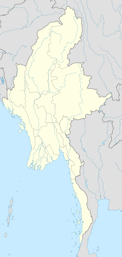  Maungkan Location in Burma | |
| Coordinates: 25°5′N 95°2′E / 25.083°N 95.033°ECoordinates: 25°5′N 95°2′E / 25.083°N 95.033°E | |
| Country |
 Burma Burma |
| Region | Sagaing Region |
| District | Hkamti |
| Township | Homalin Township |
| Time zone | MST (UTC+6.30) |
Maungkan is a village on the Chindwin River in Homalin Township, Hkamti District, in the Sagaing Region of northwestern Burma. It is located next to Chaungson and south of Tason.[1][2] Gardens were planted in Maungkan and other nearby villages around 1700 and the village has been documented as producing pickled tea, known as "letpet".[3]
References
- ↑ Google Maps (Map).
- ↑ Bing Maps (Map). Microsoft and Harris Corporation Earthstar Geographics LLC.
- ↑ Kew bulletin, Volume 10. Royal Botanic Gardens, Kew, JSTOR (Organization), H. M. Stationery Office. 1896. p. 14.
External links

This article is issued from Wikipedia - version of the 11/6/2016. The text is available under the Creative Commons Attribution/Share Alike but additional terms may apply for the media files.