McClellandville, Delaware
| McClellandville, Delaware | |
|---|---|
| Unincorporated community | |
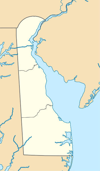  McClellandville  McClellandville | |
| Coordinates: 39°42′34″N 75°46′37″W / 39.70944°N 75.77694°WCoordinates: 39°42′34″N 75°46′37″W / 39.70944°N 75.77694°W | |
| Country | United States |
| State | Delaware |
| County | New Castle |
| Elevation | 289 ft (88 m) |
| Time zone | Eastern (EST) (UTC-5) |
| • Summer (DST) | EDT (UTC-4) |
| Area code(s) | 302 |
| GNIS feature ID | 214287[1] |
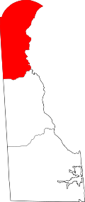
McClellandville is an unincorporated community in New Castle County, in the U.S. state of Delaware.[1] McClellandville is located at the intersection of Delaware Route 896 and Wedgewood Road northwest of Newark.[2]
History
A post office called McClellandville was established in 1853, and remained in operation until 1908.[3] The community was named for William McClelland, a pioneer settler.[4]
McClellandville contains two properties listed on the National Register of Historic Places: the Samuel Lindsey House[5] and the Wesley M.E. Church.
References
- 1 2 "McClellandville". Geographic Names Information System. United States Geological Survey.
- ↑ Delaware Department of Transportation (2008). Delaware Official Transportation Map (PDF) (Map). Dover: Delaware Department of Transportation. Retrieved July 21, 2016.
- ↑ "New Castle County". Jim Forte Postal History. Retrieved 28 June 2015.
- ↑ Gannett, Henry (1905). The Origin of Certain Place Names in the United States. U.S. Government Printing Office. p. 193.
- ↑ "Samuel Lindsey House". Landmark Hunter. Retrieved 28 June 2015.
This article is issued from Wikipedia - version of the 10/16/2016. The text is available under the Creative Commons Attribution/Share Alike but additional terms may apply for the media files.