Rural Municipality of McCraney No. 282
| McCraney No. 282 | |
|---|---|
| Rural Municipality | |
|
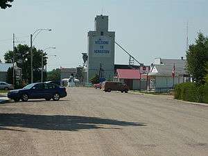
Kenaston business district. | |
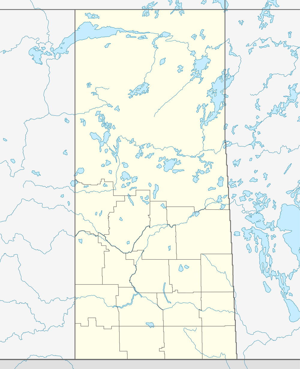  Location of McCraney No. 282 in Saskatchewan | |
| Coordinates: 51°29′41″N 106°04′54″W / 51.49472°N 106.08167°WCoordinates: 51°29′41″N 106°04′54″W / 51.49472°N 106.08167°W | |
| Country | Canada |
| Province | Saskatchewan |
| Region | South-Central |
| Census division | 11 |
| Government | |
| • Governing body | McCraney Municipal Council |
| • Municipal seat | Consul |
| Area | |
| • Total | 948.36 km2 (366.16 sq mi) |
| Population (2006) | |
| • Total | 346 |
| • Density | 0.4/km2 (1/sq mi) |
| • Dwellings | 235 |
| Time zone | UTC (UTC-6) |
| Area code(s) | 306 |
| Website |
mds |
McCraney No. 282 is a rural municipality in south-central Saskatchewan, Canada. It is located in Census Division No. 11.
Demographics
| Canada census – Rural Municipality of McCraney No. 282 community profile | |||
|---|---|---|---|
| 2006 | 2001 | ||
| Population: | 346 (-19.7% from 2001) | 431 (-9.8% from 1996) | |
| Land area: | 0.4 km2 (0.15 sq mi) | 948.74 km2 (366.31 sq mi) | |
| Population density: | 948.36/km2 (2,456.2/sq mi) | 0.5/km2 (1.3/sq mi) | |
| Median age: | N/A (M: N/A, F: N/A) | N/A (M: N/A, F: N/A) | |
| Total private dwellings: | 126 | 149 | |
| Median household income: | $N/A | $N/A | |
| References: 2006[1] 2001[2] | |||
Communities
These villages lie within the geographical borders of McCraney No. 282, but are technically not part of the R.M.
See also
References
- ↑ "2006 Community Profiles". Canada 2006 Census. Statistics Canada. March 30, 2011. Retrieved 2009-02-24.
- ↑ "2001 Community Profiles". Canada 2001 Census. Statistics Canada. February 17, 2012. Retrieved 2009-02-24.
External links


This article is issued from Wikipedia - version of the 3/14/2016. The text is available under the Creative Commons Attribution/Share Alike but additional terms may apply for the media files.