McNair, Arkansas
| McNair, Arkansas | |
|---|---|
| Unincorporated community | |
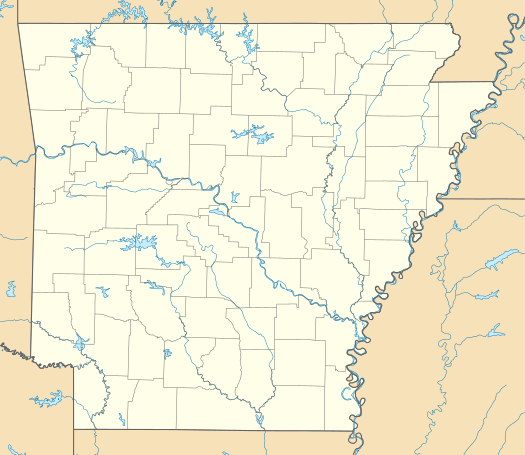  McNair, Arkansas McNair's position in Arkansas. | |
| Coordinates: 36°3′1″N 94°10′35″W / 36.05028°N 94.17639°WCoordinates: 36°3′1″N 94°10′35″W / 36.05028°N 94.17639°W | |
| Country |
 United States United States |
| State |
 Arkansas Arkansas |
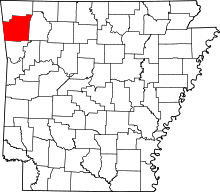
| County | Washington |
| Township | Fayetteville |
| Elevation[1] | 387 m (1,270 ft) |
| Time zone | Central (CST) (UTC-6) |
| • Summer (DST) | CDT (UTC-5) |
| ZIP code | 72701 |
| Area code(s) | 479 |
| GNIS feature ID | 77638 |
| U.S. Geological Survey Geographic Names Information System: McNair, Arkansas | |
McNair (formerly Vale) is an unincorporated community in Fayetteville Township, Washington County, Arkansas, United States.[2] It is located within Fayetteville in the southwest part of town near Baum Stadium.[3] McNair was primarily the location of the switching board off the main Frisco line to the Ozark and Cherokee Central branch which went to Tahlequah.
References
- ↑ "McNair, Arkansas." Histopolis Retrieved July 22, 2011.
- ↑ "Feature Detail Report for: McNair, Arkansas." United States Geological Survey. U.S. Geological Survey Geographic Names Information System: McNair, Arkansas Retrieved July 22, 2011.
- ↑ Arkansas Atlas and Gazetteer (Map) (Second ed.). DeLorme. § 22.
This article is issued from Wikipedia - version of the 2/10/2014. The text is available under the Creative Commons Attribution/Share Alike but additional terms may apply for the media files.