Mesochori, Larissa
For other uses, see Mesochori.
| Mesochori Μεσοχώρι | |
|---|---|
  Mesochori | |
| Coordinates: 39°44.9′N 22°6.2′E / 39.7483°N 22.1033°ECoordinates: 39°44.9′N 22°6.2′E / 39.7483°N 22.1033°E | |
| Country | Greece |
| Administrative region | Thessaly |
| Regional unit | Larissa |
| Municipality | Elassona |
| Municipal unit | Potamia |
| Elevation | 150 m (490 ft) |
| Community[1] | |
| • Population | 551 (2011) |
| • Area (km2) | 31.721 |
| Time zone | EET (UTC+2) |
| • Summer (DST) | EEST (UTC+3) |
| Postal code | 401 00 |
| Area code(s) | +30-2492-xxx-xxx |
| Vehicle registration | PIx-xxxx |
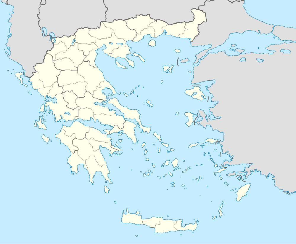
Mesochori (Greek: Μεσοχώρι, Greek pronunciation: [meso'xoɾi]) is a village and a community of the Elassona municipality.[2] Before the 2011 local government reform it was a part of the municipality of Potamia, of which it was a municipal district.[2] The 2011 census recorded 551 inhabitants in the village.[1] The community of Mesochori covers an area of 31.721 km2.[3]
Economy
The population of Mesochori is occupied in animal husbandry and agriculture (mainly tobacco).[4]
Population
According to the 2011 census, the population of the settlement of Mesochori was 551 people, a decrease of almost 1% compared with the population of the previous census of 2001.[1][3]
|
See also
References
- 1 2 3 4 "Απογραφή Πληθυσμού - Κατοικιών 2011. ΜΟΝΙΜΟΣ Πληθυσμός" (in Greek). Hellenic Statistical Authority.
- 1 2 Kallikratis law Greece Ministry of Interior (Greek)
- 1 2 3 "Population & housing census 2001 (incl. area and average elevation)" (PDF) (in Greek). National Statistical Service of Greece.
- ↑ Μεσοχώρι (in Greek). elassona.com.gr. Retrieved 30 November 2014.
This article is issued from Wikipedia - version of the 11/2/2016. The text is available under the Creative Commons Attribution/Share Alike but additional terms may apply for the media files.