Mezhybrody
| Mezhybrody Межибро́ди | |
|---|---|
| village | |
 | |
  Mezhybrody | |
| Coordinates: UA 49°06′25″N 23°36′05″E / 49.10694°N 23.60139°ECoordinates: UA 49°06′25″N 23°36′05″E / 49.10694°N 23.60139°E | |
| Country |
 Ukraine Ukraine |
| Province |
 Lviv Oblast Lviv Oblast |
| District | Skole Raion |
| Established | 1564 |
| Area | |
| • Total | 0,74 km2 (29 sq mi) |
| Elevation/(average value of) | 448 m (1,470 ft) |
| Population | |
| • Total | 214 |
| • Density | .289,19/km2 (0.7490/sq mi) |
| Time zone | EET (UTC+2) |
| • Summer (DST) | EEST (UTC+3) |
| Postal code | 82613 |
| Area code | +380 3251 |
| Website | село Межиброди (Ukrainian) |
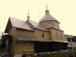
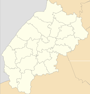
Mezhybrody (Ukrainian: Межибро́ди, Polish: Międzybrody) – village (selo) in Skole Raion, Lviv Oblast, of Western Ukraine. Mezhybrody village is located in a picturesque corner of the Carpathians of Skole district, at the foot of where the two mountain rivers — Stryi River and Opir River. Village is located close to Highway M06 (Ukraine) (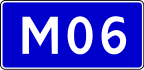 ). Local government — Verkhnosynovydnenska settlement council.[1] Population of the village amounts to only 214 people.
Distance from the regional center Lviv is 98 kilometres (61 mi) , 26 kilometres (16 mi) from the district center Skole, and 170 kilometres (110 mi) from Uzhhorod.
The village was first mentioned in 1564.[2]
References
- ↑ Verkhnosynovydnenska settlement council
- ↑ (Ukrainian)
External links
- weather.in.ua
- Ukrainian: Про село Межиброди
- Ukrainian: Межиброди, Матеріал з Вікіпедії
- Ukrainian: Межиброди
| Cities |  | |
|---|---|---|
| Urban-type settlements | ||
| Villages |
| |

This article is issued from Wikipedia - version of the 8/30/2016. The text is available under the Creative Commons Attribution/Share Alike but additional terms may apply for the media files.