Milo, Indiana
| Milo | |
|---|---|
| Unincorporated community | |
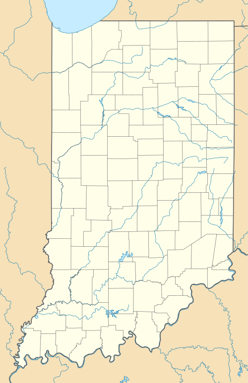  Milo  Milo | |
| Coordinates: 40°39′14″N 85°28′06″W / 40.65389°N 85.46833°WCoordinates: 40°39′14″N 85°28′06″W / 40.65389°N 85.46833°W | |
| Country | United States |
| State | Indiana |
| County | Huntington |
| Township | Jefferson |
| Elevation | 843 ft (257 m) |
| ZIP code | 46991 |
| FIPS code | 18-49770[1] |
| GNIS feature ID | 439253[2] |
Milo is an unincorporated community in Jefferson Township, Huntington County, Indiana.
History
Milo was never properly laid out or platted.[3] A post office called Milo was established in 1881, and remained in operation until it was discontinued in 1923.[4] Milo M. Sharp was an early postmaster.[5]
Milo was a station and shipping point on the Clover Leaf Railroad.[3]
Geography
Milo is located at 40°39′14″N 85°28′06″W / 40.65389°N 85.46833°W.
References
- ↑ "American FactFinder". United States Census Bureau. Retrieved 2008-01-31.
- ↑ "Milo, Indiana". Geographic Names Information System. United States Geological Survey. Retrieved 2009-10-17.
- 1 2 Bash, Frank Sumner (1914). History of Huntington County, Indiana: A Narrative Account of Its Historical Progress, Its People, and Its Principal Interests. The Lewis Publishing Company. p. 161.
- ↑ "Huntington County". Jim Forte Postal History. Retrieved 18 October 2014.
- ↑ Baker, Ronald L. (October 1995). From Needmore to Prosperity: Hoosier Place Names in Folklore and History. Indiana University Press. p. 222. ISBN 978-0-253-32866-3.
...named for Milo M. Sharp, first postmaster...
Municipalities and communities of Huntington County, Indiana, United States | ||
|---|---|---|
| City | 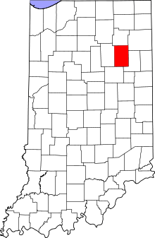 | |
| Towns | ||
| Townships | ||
| Unincorporated communities | ||
| Footnotes | ‡This populated place also has portions in an adjacent county or counties | |
This article is issued from Wikipedia - version of the 10/25/2016. The text is available under the Creative Commons Attribution/Share Alike but additional terms may apply for the media files.