Mošćenička Draga
| Mošćenička Draga | ||
|---|---|---|
| Municipality | ||
| Mošćenička Draga Municipality Općina Mošćenička Draga | ||
|
Mošćenička Draga | ||
| ||
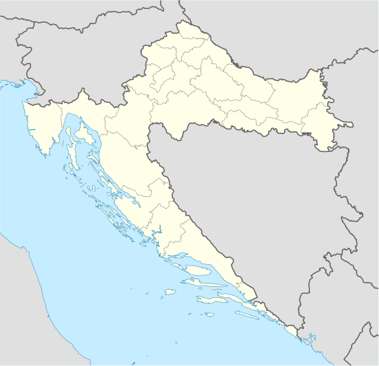  Mošćenička Draga Location of Mošćenička Draga in Croatia | ||
| Coordinates: 45°14′N 14°15′E / 45.233°N 14.250°ECoordinates: 45°14′N 14°15′E / 45.233°N 14.250°E | ||
| Country | Croatia | |
| County | Primorje-Gorski Kotar County | |
| Population (2011)[1] | ||
| • Total | 1,535 | |
| Time zone | CET (UTC+1) | |
| • Summer (DST) | CEST (UTC+2) | |
| Area code | 051 | |
| Website |
www | |
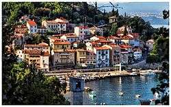

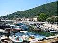
Mošćenička Draga (Italian: Draga di Moschiena) is municipality in Primorje-Gorski Kotar County, Croatia. It has 1,535 inhabitants, 90.7% of which are Croats.[2] It is situated southwest of Opatija under Mt. Učka. The centre of the municipality is the former fishing village of Mošćenička Draga which is today a tourist resort with two beaches, small marina and walking paths. Above Mošćenička Draga there is the hilltop town of Mošćenice.
Gallery
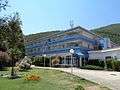 "Marina" Hotel
References
- ↑ "Population by Age and Sex, by Settlements, 2011 Census: Mošćenička Draga". Census of Population, Households and Dwellings 2011. Zagreb: Croatian Bureau of Statistics. December 2012.
- ↑ "Population by Ethnicity, by Towns/Municipalities, 2011 Census: County of Primorje-Gorski kotar". Census of Population, Households and Dwellings 2011. Zagreb: Croatian Bureau of Statistics. December 2012.
External links
-
 Media related to Mošćenička Draga at Wikimedia Commons
 - Official website
- Tourist community
Subdivisions of Primorje-Gorski Kotar County | ||
|---|---|---|
| Cities and towns |  | |
| Municipalities | ||
This article is issued from Wikipedia - version of the 10/5/2016. The text is available under the Creative Commons Attribution/Share Alike but additional terms may apply for the media files.