Mulberry, Tennessee
| Mulberry, Tennessee | |
|---|---|
| Unincorporated community | |
|
Mulberry Methodist Church, one of three Carpenter Gothic churches facing Mulberry's town square | |
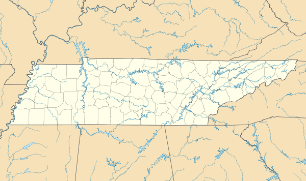  Mulberry, Tennessee  Mulberry, Tennessee | |
| Coordinates: 35°12′38″N 86°27′37″W / 35.21056°N 86.46028°WCoordinates: 35°12′38″N 86°27′37″W / 35.21056°N 86.46028°W | |
| Country | United States |
| State | Tennessee |
| County | Lincoln |
| Elevation | 745 ft (227 m) |
| Time zone | Central (CST) (UTC-6) |
| • Summer (DST) | CDT (UTC-5) |
| ZIP code | 37359 |
| Area code(s) | 931 |
| GNIS feature ID | 1295054[1] |

Mulberry is an unincorporated community in Lincoln County, Tennessee, United States. Mulberry is located along Tennessee State Route 50, 7.4 miles (11.9 km) northeast of Fayetteville.[2] Mulberry has a post office with ZIP code 37359, which opened on January 7, 1828.[3][4] The community was named for the red mulberry plants found in the area.[5]
References
- ↑ "Mulberry". Geographic Names Information System. United States Geological Survey.
- ↑ Lincoln County, Tennessee General Highway Map (PDF) (Map). Tennessee Department of Transportation. 2007. Retrieved December 10, 2012.
- ↑ United States Postal Service (2012). "USPS - Look Up a ZIP Code". Retrieved 2012-02-15.
- ↑ "Postmaster Finder - Post Offices by ZIP Code". United States Postal Service. Retrieved December 10, 2012.
- ↑ Miller, Larry L. (2001). Tennessee Place Names. Indiana University Press. p. 248. ISBN 9780253214782.
Municipalities and communities of Lincoln County, Tennessee, United States | ||
|---|---|---|
| Cities |  | |
| Town | ||
| CDPs | ||
| Unincorporated communities | ||
| Footnotes | ‡This populated place also has portions in an adjacent county or counties | |
This article is issued from Wikipedia - version of the 7/31/2016. The text is available under the Creative Commons Attribution/Share Alike but additional terms may apply for the media files.