Mường Pồn
| Mường Pồn | |
|---|---|
| Commune and village | |
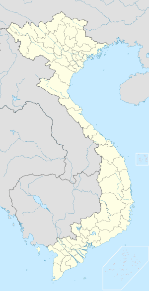  Mường Pồn Location in Vietnam | |
| Coordinates: 21°33′N 103°1′E / 21.550°N 103.017°E | |
| Country |
 Vietnam Vietnam |
| Province | Điện Biên |
| District | Điện Biên |
| Time zone | Indochina Time (UTC+07:00) |
Mường Pồn is a commune (xã) and village of the Điện Biên District of Điện Biên Province, northwestern Vietnam. Less than 4 kilometres from the Lao border, it lies along National Route 12, north by road from Dien Bien Phu. A small French force was located here before the Battle of Dien Bien Phu.[1] After a two-day siege, it fell to the Viet Minh on 12 December 1953, despite an attempt to relieve the garrison by Pierre Langlais.[2] The village was burned to the ground.[3]
References
- ↑ Nguyêñ, Q. Thăńg; Nguyêñ, Bá Thê (1991). Nhân vật lịch sử Việt Nam, từ điển. Nhà xuá̂t bản Văn hóa. Retrieved 12 October 2011.
- ↑ Nguyên Giáp Võ (1970). The military art of people's war. Monthly Review Press. p. 124. Retrieved 12 October 2011.
- ↑ Pham, Thanh Tam (2005). Drawing under fire: war diary of a young Vietnamese artist. Asia Ink. p. 181. Retrieved 12 October 2011.
Capital: Điện Biên Phủ | ||
| Điện Biên Phủ | 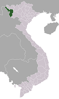 | |
| Mường Lay | ||
| Điện Biên | ||
| Điện Biên Đông | ||
| Mường Chà | ||
| Mường Nhé | ||
| Tủa Chùa | ||
| Tuần Giáo | ||
This article is issued from Wikipedia - version of the 10/12/2016. The text is available under the Creative Commons Attribution/Share Alike but additional terms may apply for the media files.