Niwali, Madhya Pradesh
| Niwali निवाली | |
|---|---|
| village | |
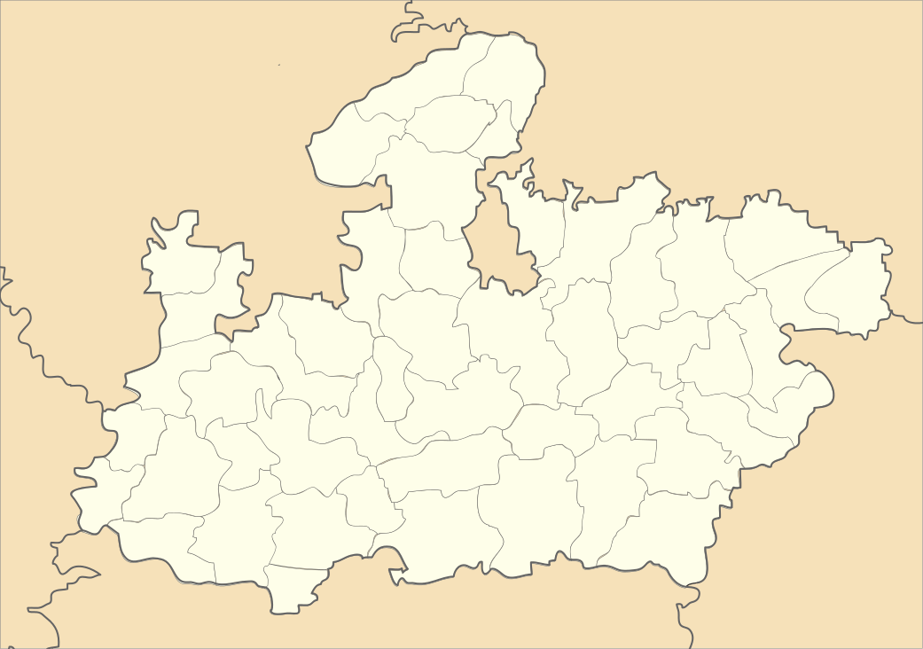  Niwali Location in Madhya Pradesh, India | |
| Coordinates: 21°41′N 74°55′E / 21.68°N 74.92°ECoordinates: 21°41′N 74°55′E / 21.68°N 74.92°E | |
| Country |
 India India |
| State | Madhya Pradesh |
| District | Barwani |
| Languages | |
| • Official | Hindi |
| Time zone | IST (UTC+5:30) |
Niwali, Madhya Pradesh is a village & Tehsil in Barwani district[1][2] in the Indian state of Madhya Pradesh.[3]
Geography
Niwali is located in the Narmada Valley, at 21°41′N 74°55′E / 21.68°N 74.92°E. It has an average elevation of 508 m (1,667 ft).[4] Situated on MP SH 36,[5] Niwali lies 21 km (13 mi) from Sendhwa. It is a Tehsil of Barwani district.[6]
References
- ↑ Sharma, Kapilesh (7 December 2014). "Two accused sent to jail, absconding engineer held". The Free Press Journal. Retrieved 25 March 2015.
- ↑ Ayub, Jamal (26 November 2012). "Now, English medium schools for tribals in Madhya Pradesh". The Times of India. TNN. Retrieved 25 March 2015.
- ↑ "निवाली में मंगलवार को दो घंटे झमाझम बारिश हुई". Dainik Bhaskar. Bhaskar News Network. 27 August 2014. Retrieved 25 March 2015.
- ↑ "Nivali, India Page". www.fallingrain.com. Falling Rain Genomics. Retrieved 25 March 2015.
- ↑ "The State Highway Panseml, Ketia and Niwali off today". Patrika. Rajasthan Patrika. 4 February 2015. Retrieved 25 March 2015.
- ↑ "फुटबॉल-बॉलीबाल में निवाली की बालिकाएं आगे". Dainik Bhaskar. Bhaskar News Network. 19 November 2014. Retrieved 25 March 2015.
External links
This article is issued from Wikipedia - version of the 10/1/2016. The text is available under the Creative Commons Attribution/Share Alike but additional terms may apply for the media files.