Warla, Madhya Pradesh
| Warla वरला | |
|---|---|
| village | |
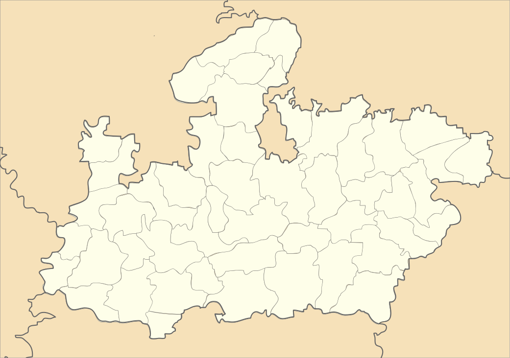  Warla   Warla Location in Madhya Pradesh, India | |
| Coordinates: 21°26′N 75°10′E / 21.43°N 75.17°ECoordinates: 21°26′N 75°10′E / 21.43°N 75.17°E | |
| Country |
 India India |
| State | Madhya Pradesh |
| District | Barwani |
| Languages | |
| • Official | Hindi |
| Time zone | IST (UTC+5:30) |
| ISO 3166 code | IN-MP |
| Vehicle registration | MP |
Warla, Madhya Pradesh is a village & Tehsil in Barwani district in the Indian state of Madhya Pradesh.[1]
Geography
Warla is located in the Narmada Valley, at 21°26′N 75°10′E / 21.43°N 75.17°E. It has an average elevation of 271 m (889 ft).[2] Situated on the border of Madhya Pradesh & Maharashtra, Warla lies 41 km (25 mi) from Sendhwa. It is a Tehsil of Barwani district.[3]
References
- ↑ Singh, Anuraag (25 January 2015). "MP man who made pistol for D-Company to kill Varun Gandhi arrested". The Times of India (25 January 2015). The Times of India. TNN. Retrieved 16 February 2015.
- ↑ "Varla, India Page". www.fallingrain.com. Falling Rain Genomics. Retrieved 16 February 2015.
- ↑ "MP: BJP, Congress workers clash ahead of panchayat elections, 10 injured". Hindustan Times (1 February 2015). Hindustan Times. 1 February 2015. Retrieved 16 February 2015.
External links
This article is issued from Wikipedia - version of the 10/23/2016. The text is available under the Creative Commons Attribution/Share Alike but additional terms may apply for the media files.