Par Beliya
| Parbelia পারবেলিয়া | |
|---|---|
| Census Town | |
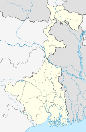  Parbelia   Parbelia Location in West Bengal, India | |
| Coordinates: 23°40′26.4″N 86°49′8.4″E / 23.674000°N 86.819000°ECoordinates: 23°40′26.4″N 86°49′8.4″E / 23.674000°N 86.819000°E | |
| Country |
 India India |
| State | West Bengal |
| District | Purulia |
| Population (2011) | |
| • Total | 5,279 |
| Languages | |
| • Official | Bengali, English |
| Time zone | IST (UTC+5:30) |
| Vehicle registration | WB |
| Website |
purulia |
Parbelia is a census town in Neturia CD Block in Puruliya district in the Indian state of West Bengal.[1]
Geography
The area forms the lowest step of the Chota Nagpur Plateau. The general scenario is undulating land with scattered hills.[2] It is located south of Damodar River.
Demographics
As per 2011 Census of India Parbeliya had a total population of 5,279 of which 2,783 (53%) were males and 2,496 (47%) were females. Population below 6 years was 613. The total number of literates in Parbeliya was 3,462 (74.20% of the population over 6 years).[3]
As of 2001 India census,[4] Parbelia had a population of 6036. Males constitute 53% of the population and females 47%. Par Beliya has an average literacy rate of 59%, lower than the national average of 59.5%: male literacy is 69%, and female literacy is 48%. In Par Beliya, 14% of the population is under 6 years of age.
Economy
It is an important coal mining area of Eastern Coalfields Ltd., a subsidiary of Coal India Limited.[5] This area of Purulia district is linked with Dishergarh in Asansol subdivision with a bridge across the Damodar River.
Transport
State Highway 5 (West Bengal) running from Rupnarayanpur (in Bardhaman district) to Junput (in Purba Medinipur district) passes through Par Beliya.[6]
References
- ↑ "Provisional population totals, West Bengal, Table 4, Puruliya District". Census of India 2001. Census Commission of India. Archived from the original on 28 September 2011. Retrieved 12 September 2016.
- ↑ Houlton, Sir John, Bihar, the Heart of India, 1949, p. 170, Orient Longmans Ltd.
- ↑ "2011 Census – Primary Census Abstract Data Tables". West Bengal – District-wise. Registrar General and Census Commissioner, India. Retrieved 5 October 2016.
- ↑ "Census of India 2001: Data from the 2001 Census, including cities, villages and towns (Provisional)". Census Commission of India. Archived from the original on 2004-06-16. Retrieved 2008-11-01.
- ↑ Eastern Coalfields
- ↑ "List of State Highways in West Bengal". West Bengal Traffic Police. Retrieved 21 September 2016.
Cities, towns and locations in Purulia District | |||||||||||
|---|---|---|---|---|---|---|---|---|---|---|---|
| Cities, municipal and census towns |
| ||||||||||
| Locations other than cities and towns |
| ||||||||||
| Neighbourhood | |||||||||||
| Related topics |
| ||||||||||
 West Bengal portal West Bengal portal | |||||||||||

