Para Vista, South Australia
| Para Vista Adelaide, South Australia | |||||||||||||
|---|---|---|---|---|---|---|---|---|---|---|---|---|---|
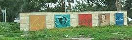 Entrance signage to Para Vista | |||||||||||||
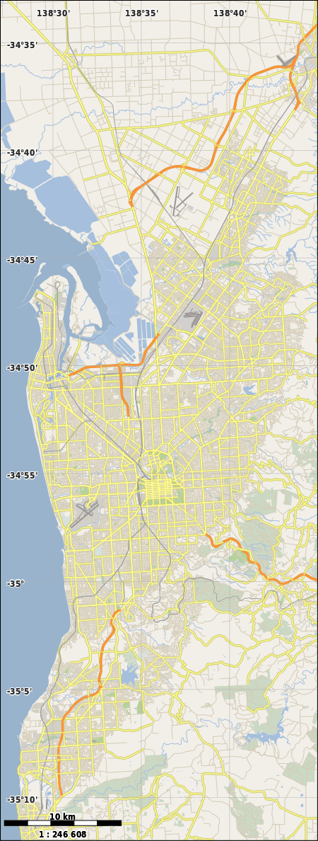  Para Vista | |||||||||||||
| Coordinates | 34°49′36″S 138°39′54″E / 34.82667°S 138.66500°ECoordinates: 34°49′36″S 138°39′54″E / 34.82667°S 138.66500°E | ||||||||||||
| Postcode(s) | 5093 | ||||||||||||
| LGA(s) | City of Tea Tree Gully | ||||||||||||
| State electorate(s) | Florey | ||||||||||||
| Federal Division(s) | Makin | ||||||||||||
| |||||||||||||
Para Vista is a suburb in northern Adelaide, South Australia. It is bounded by Wright Road to the South. The northern boundary of the suburb is Montague, Nelson and Milne Roads, making an backwards-L shape of the suburb. The western end is Redhill Road, but the eastern side does not follow streets.
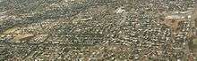
Aerial image of Para Vista, looking north; Wright Road is the east-west road at the bottom
Para Vista Post Office opened on 13 January 1964 but was renamed Valley View in October of that year.[1]
References
 |
Wikimedia Commons has media related to Para Vista, South Australia. |
- ↑ Premier Postal History. "Post Office List". Premier Postal Auctions. Retrieved 26 May 2011.
This article is issued from Wikipedia - version of the 4/9/2015. The text is available under the Creative Commons Attribution/Share Alike but additional terms may apply for the media files.