Plymouth, Washington
| Plymouth, Washington | |
|---|---|
| Unincorporated community | |
|
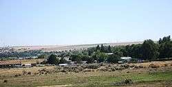
Plymouth, Washington with Columbia River in background. | |
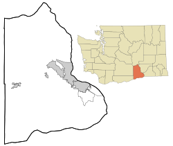  Plymouth, Washington | |
| Coordinates: 45°56′04″N 119°21′01″W / 45.93444°N 119.35028°WCoordinates: 45°56′04″N 119°21′01″W / 45.93444°N 119.35028°W | |
| Country | United States |
| State | Washington |
| County | Benton |
| Elevation | 292 ft (89 m) |
| Time zone | Pacific (PST) (UTC-8) |
| • Summer (DST) | PDT (UTC-7) |
| Area code(s) | 509 |
| GNIS feature ID | 1507501[1] |
Plymouth is an unincorporated community in Benton County, Washington, United States. Plymouth is located on the Columbia River across from Umatilla, Oregon. It is south of the Tri-Cities and is served by Interstate 82. It was named by early settlers who felt a nearby rock promontory resembled Plymouth Rock.[2]
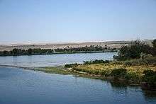
Plymouth, Washington as seen from the Oregon side of the Columbia River at the mouth of the Umatilla River.
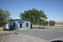
Plymouth, Washington post office as seen in July 2013.
References
- ↑ "US Board on Geographic Names". United States Geological Survey. 2007-10-25. Retrieved 2008-01-31.
- ↑ Majors, Harry M. (1975). Exploring Washington. Van Winkle Publishing Co. p. 156. ISBN 978-0-918664-00-6.
Municipalities and communities of Benton County, Washington, United States | ||
|---|---|---|
| Cities | 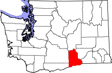 | |
| CDPs | ||
| Unincorporated communities | ||
| Unincorporated communities | ||
This article is issued from Wikipedia - version of the 10/26/2016. The text is available under the Creative Commons Attribution/Share Alike but additional terms may apply for the media files.