Puriri, New Zealand
| Puriri | |
|---|---|
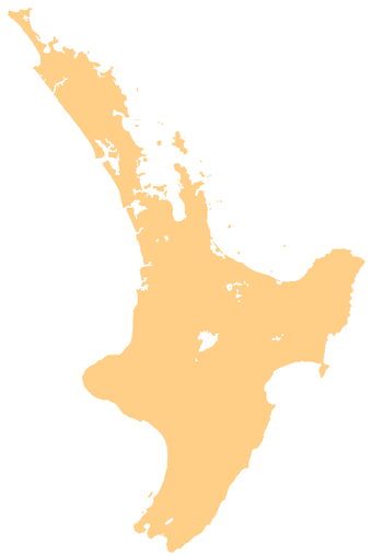  Puriri | |
| Coordinates: 37°13′47″S 175°38′14″E / 37.22972°S 175.63722°E | |
| Country | New Zealand |
| Region | Waikato |
| District | Thames-Coromandel District |
Puriri is a small locality on the Hauraki Plains of New Zealand.[1] It lies approximately 14 km south-east of Thames, New Zealand.
Puriri was originally a Ngāti Maru settlement, which the Rev. Henry Williams and three fellow missionaries visited in October 1833. They subsequently established a mission station in the settlement, which the Rev. James Preece took over in 1834 with the assistance of the Rev. James Hamlin.[2] In 1838 the station was transferred to Parawai (part of the present town of Thames).
In 1868 Puriri was the location for an official goldfield during the Thames-Coromandel gold rush.[3]
Education
Puriri School is a coeducational full primary (years 1-8) school with a decile rating of 7 and a roll of 31.[4] The school celebrated its 80th anniversary in 1961[5] and its 125th anniversary in 2003.[6] There was an earlier school called Puriri School, which flourished in 1837.[7]
References
- ↑ "Place Name Detail: Puriri". New Zealand Geographic Placenames Database. Land Information New Zealand. Retrieved 2009-01-25.
- ↑ James Hamlin, Diary 1830-1832. MS 0560, Hocken Library.
- ↑ KaeLewis.com, Goldminers of Thames, New Zealand 1868, accessed 28 May 2007
- ↑ "Te Kete Ipurangi - Puriri School". Ministry of Education.
- ↑ Puriri School Eightieth Jubilee, 1881-1961, October 20th-22nd, 1961. Puriri School. 1961.
- ↑ "NOTES". Ohinemuri Regional History Journal 47. September 2003.
- ↑ Board of Foreign Missions and of the Board of Missions of the Presbyterian Church (1838). The Missionary Chronicle. pp. 327–328.
External links
Coordinates: 37°14′S 175°38′E / 37.233°S 175.633°E