Racine, Missouri
| Racine | |
|---|---|
| Unincorporated community | |
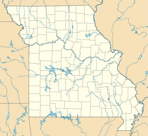  Racine Location within the state of Missouri | |
| Coordinates: 36°53′44.9″N 94°31′38.0″W / 36.895806°N 94.527222°WCoordinates: 36°53′44.9″N 94°31′38.0″W / 36.895806°N 94.527222°W | |
| Country | United States |
| State | Missouri |
| County | Newton |
| Elevation | 961 ft (293 m) |
| Population | |
| • Total | Estimated at 200 within ½ mile radius of the Racine Post Office; an exact population figure is impossible because there are no defined city limits. |
| • Demonym | Racinian |
| Time zone | Central (CST) (UTC-6) |
| • Summer (DST) | CDT (UTC-5) |
| ZIP code | 64858 |
| Area code(s) | 417 |
Racine is an unincorporated community in Newton County, Missouri, United States.[1] It is part of the Joplin, Missouri Metropolitan Statistical Area.
History
A post office called Racine has been in operation since 1869.[2] The community takes its name from Racine, Wisconsin.[3]
Geography
Racine is located along the Frisco Railroad tracks between Neosho and Seneca, Missouri in Lost Creek Valley. Racine is on Route 86 where Route K and Route CC intersect. It is positioned geographically between 3 other towns. It is 6 miles west of Neosho, 10 miles south of Joplin, and 5½ miles northeast of Seneca.
Education
Most students publicly schooled in the Racine area attend the Seneca, MO School District.
References
- ↑ U.S. Geological Survey Geographic Names Information System: Racine, Missouri
- ↑ "Post Offices". Jim Forte Postal History. Retrieved 22 November 2016.
- ↑ "Newton County Place Names, 1928–1945". The State Historical Society of Missouri. Archived from the original on June 24, 2016. Retrieved November 22, 2016.
Municipalities and communities of Newton County, Missouri, United States | ||
|---|---|---|
| Cities | 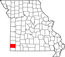 | |
| Villages | ||
| Townships | ||
| Unincorporated communities | ||
| Footnotes | ‡This populated place also has portions in an adjacent county or counties | |
This article is issued from Wikipedia - version of the 11/23/2016. The text is available under the Creative Commons Attribution/Share Alike but additional terms may apply for the media files.