Rader Creek, Montana
| Rader Creek, Montana | |
|---|---|
| CDP | |
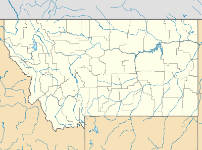  Rader Creek, Montana Location of Rader Creek, Montana | |
| Coordinates: 45°50′44″N 112°18′58″W / 45.84556°N 112.31611°WCoordinates: 45°50′44″N 112°18′58″W / 45.84556°N 112.31611°W | |
| Country | United States |
| State | Montana |
| County | Jefferson |
| Area | |
| • Total | 20.25 sq mi (52.45 km2) |
| • Land | 20.25 sq mi (52.45 km2) |
| • Water | 0.00 sq mi (0.00 km2) |
| Elevation | 5,525 ft (1,684 m) |
| Population (2010) | |
| • Total | 363 |
| • Density | 18/sq mi (6.9/km2) |
| Time zone | Mountain (MST) (UTC-7) |
| • Summer (DST) | MDT (UTC-6) |
| Area code(s) | 406 |
| GNIS feature ID | 2583837[1] |
Rader Creek is a census-designated place (CDP) in Jefferson County, Montana, United States. The population was 363 at the 2010 census.[2]
References
Municipalities and communities of Jefferson County, Montana, United States | ||
|---|---|---|
| Towns | 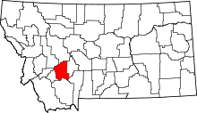 | |
| CDPs | ||
| Unincorporated communities | ||
This article is issued from Wikipedia - version of the 7/30/2014. The text is available under the Creative Commons Attribution/Share Alike but additional terms may apply for the media files.