Siluria, Alabama
| Siluria, Alabama | |
|---|---|
| Unincorporated community | |
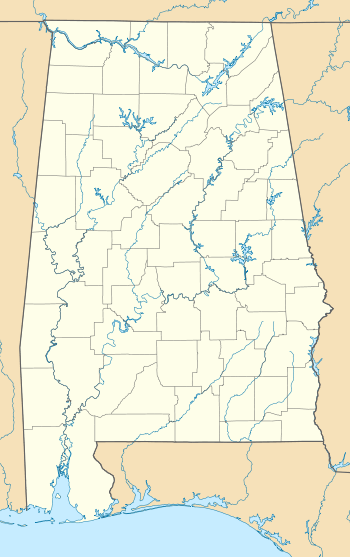  Siluria, Alabama  Siluria, Alabama | |
| Coordinates: 33°13′45″N 86°49′30″W / 33.22917°N 86.82500°WCoordinates: 33°13′45″N 86°49′30″W / 33.22917°N 86.82500°W | |
| Country | United States |
| State | Alabama |
| County | Shelby |
| Elevation | 492 ft (150 m) |
| Time zone | Central (CST) (UTC-6) |
| • Summer (DST) | CDT (UTC-5) |
| Area code(s) | 205 |
| GNIS feature ID | 126847[1] |
Siluria is a former town and now a neighborhood in Alabaster, Alabama, located in Shelby County, Alabama in the Birmingham, Alabama, metropolitan area. It was the home of a large cotton mill and company-built mill village which began operations in 1896 and finally closed in 1979. It incorporated on May 25, 1954, but was later annexed by Alabaster in May 1971.[2] It's named for the Silurian geological period because of rocks found there.[3] A post office was established in 1872, and remained in operation until it was discontinued in 1972.[4]
Demographics
| Historical population | |||
|---|---|---|---|
| Census | Pop. | %± | |
| 1960 | 736 | — | |
| 1970 | 678 | −7.9% | |
| U.S. Decennial Census[5] | |||
Notable people
- Jim Davenport, born in Siluria, major league baseball player[6]
- Willie Kirkland, born in Siluria, major league baseball player[6]
- Cathy O'Donnell, born Ann Steely in Siluria, actress, on July 6, 1923[7]
References
- ↑ "Siluria". Geographic Names Information System. United States Geological Survey.
- ↑ Boundary and Annexation Survey. U.S. Department of Commerce, Bureau of the Census. 1975-01-01.
- ↑ "Profile for Siluria, Alabama, AL". ePodunk. Retrieved 15 April 2011.
- ↑ "Shelby County". Jim Forte Postal History. Retrieved 21 October 2014.
- ↑ "U.S. Decennial Census". Census.gov. Retrieved June 6, 2013.
- 1 2 Reichler, Joseph L., ed. (1979) [1969]. The Baseball Encyclopedia (4th ed.). New York: Macmillan Publishing. ISBN 0-02-578970-8.
- ↑ "Cathy O'Donnell". IMDb. Retrieved 2016-05-10.
External links
 |
Wikimedia Commons has media related to Siluria, Alabama. |
Municipalities and communities of Shelby County, Alabama, United States | ||
|---|---|---|
| Cities | 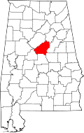 | |
| Towns | ||
| CDPs | ||
| Unincorporated communities | ||
| Footnotes | ‡This populated place also has portions in an adjacent county or counties | |
This article is issued from Wikipedia - version of the 7/31/2016. The text is available under the Creative Commons Attribution/Share Alike but additional terms may apply for the media files.