South Bunbury, Western Australia
| South Bunbury Western Australia | |||||||||||||
|---|---|---|---|---|---|---|---|---|---|---|---|---|---|
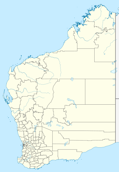  South Bunbury | |||||||||||||
| Coordinates | 33°21′S 115°38′E / 33.35°S 115.63°ECoordinates: 33°21′S 115°38′E / 33.35°S 115.63°E | ||||||||||||
| Population | 8,174 (2011 Census)[1] | ||||||||||||
| • Density | 1,258/km2 (3,257/sq mi) | ||||||||||||
| Postcode(s) | 6230 | ||||||||||||
| Area | 6.5 km2 (2.5 sq mi) | ||||||||||||
| Location | 2 km (1 mi) South of Bunbury | ||||||||||||
| LGA(s) | City of Bunbury | ||||||||||||
| State electorate(s) | Collie-Preston | ||||||||||||
| Federal Division(s) | Forrest | ||||||||||||
| |||||||||||||
South Bunbury is a beachside suburb in Bunbury, Western Australia. It is located in the local government area of the City of Bunbury. The area is also known as 'Mangles'.[2]
The South Bunbury Football Club's home ground is located at Hands Oval in South Bunbury.
References
- ↑ Australian Bureau of Statistics (31 October 2012). "South Bunbury (State Suburb)". 2011 Census QuickStats. Retrieved 16 April 2016.
- ↑ "Landscape Character Study, South Bunbury - Mangles" (PDF). City of Bunbury. Retrieved 16 April 2016.
This article is issued from Wikipedia - version of the 11/6/2016. The text is available under the Creative Commons Attribution/Share Alike but additional terms may apply for the media files.