Spice, West Virginia
| Spice, West Virginia | |
|---|---|
| Unincorporated community | |
  Spice, West Virginia  Spice, West Virginia | |
| Coordinates: 38°06′36″N 80°15′59″W / 38.11000°N 80.26639°WCoordinates: 38°06′36″N 80°15′59″W / 38.11000°N 80.26639°W | |
| Country | United States |
| State | West Virginia |
| County | Pocahontas |
| Elevation | 3,002 ft (915 m) |
| Time zone | Eastern (EST) (UTC-5) |
| • Summer (DST) | EDT (UTC-4) |
| Area code(s) | 304 & 681 |
| GNIS feature ID | 1555682[1] |
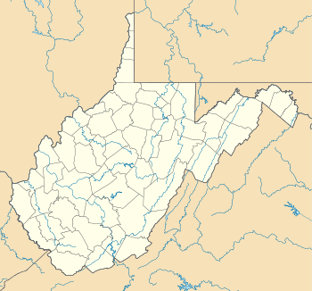
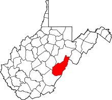
Spice is an unincorporated community in Pocahontas County, West Virginia, United States. Spice is located on U.S. Route 219 3.5 miles (5.6 km) southwest of Hillsboro.
History
A post office called Spice was established in 1912, and remained in operation until it was discontinued in 1943.[2] The community was named for the spices harvested in the hills.[3][4]
References
- ↑ U.S. Geological Survey Geographic Names Information System: Spice, West Virginia
- ↑ "Pocahontas County". Jim Forte Postal History. Retrieved 21 May 2015.
- ↑ Mockridge, Norton (Apr 22, 1971). "West Virginia Takes Name Prize". Toledo Blade. p. 29. Retrieved 21 May 2015.
- ↑ Kenny, Hamill (1945). West Virginia Place Names: Their Origin and Meaning, Including the Nomenclature of the Streams and Mountains. Piedmont, WV: The Place Name Press. p. 595.
This article is issued from Wikipedia - version of the 7/28/2016. The text is available under the Creative Commons Attribution/Share Alike but additional terms may apply for the media files.