Taconic Shores, New York
| Taconic Shores, New York | |
|---|---|
| Census-designated place | |
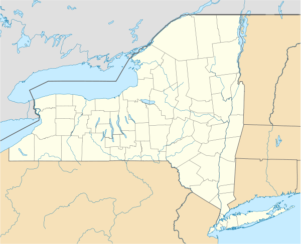  Taconic Shores Location within the state of New York | |
| Coordinates: 42°7′2″N 73°33′18″W / 42.11722°N 73.55500°WCoordinates: 42°7′2″N 73°33′18″W / 42.11722°N 73.55500°W | |
| Country | United States |
| State | New York |
| County | Columbia |
| Town | Copake |
| Area | |
| • Total | 1.0 sq mi (2.6 km2) |
| • Land | 0.8 sq mi (2.2 km2) |
| • Water | 0.2 sq mi (0.5 km2) |
| Elevation | 531 ft (162 m) |
| Time zone | Eastern (EST) (UTC-5) |
| • Summer (DST) | EDT (UTC-4) |
| FIPS code | 36-73057 |
| GNIS code | 2761353 |
| Website |
www |
Taconic Shores is a residential development and census-designated place (CDP) in Columbia County, New York, United States. The hamlet is near the geographic center of the town of Copake and surrounds Robinson Pond, a water body on the Roeliff Jansen Kill. The CDP was designated after the 2010 census, so no population figure is yet available.
Geography
Taconic Shores consists of a housing development surrounding Robinson Pond, part of the Roeliff Jansen Kill, a stream which flows west to the Hudson River. The community is just north of Copake Hamlet and the Copake Town Hall. The community of Copake Lake is 2 miles (3 km) to the northwest (5 miles (8 km) by road).
According to the United States Census Bureau, the Taconic Shores CDP has a total area of 1.0 square mile (2.6 km2), of which 0.85 square miles (2.2 km2) is land and 0.19 square miles (0.5 km2), or 18.47%, is water.[1]
References
- ↑ "2014 U.S. Gazetteer Files: Places: New York". U.S. Census Bureau, Geography Division. Retrieved December 12, 2014.
External links
Municipalities and communities of Columbia County, New York, United States | ||
|---|---|---|
| City | 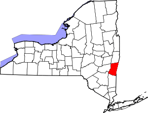 | |
| Towns | ||
| Villages | ||
| CDPs | ||
| Other hamlets | ||
| Footnotes | ‡This populated place also has portions in an adjacent county or counties | |