Vallesa de la Guareña
| Vallesa de La Guareña, Spain | |
|---|---|
| Municipality | |
|
Panoramic view over La Gavia hill. | |
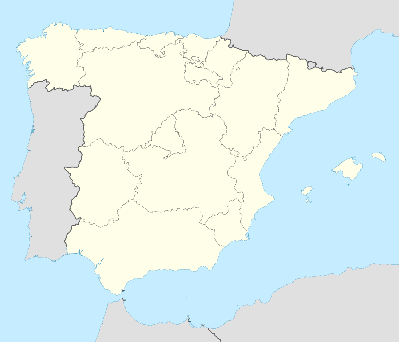  Vallesa de La Guareña, Spain Location in Spain | |
| Coordinates: 41°08′07″N 5°19′36″W / 41.13528°N 5.32667°WCoordinates: 41°08′07″N 5°19′36″W / 41.13528°N 5.32667°W | |
| Country |
 Spain Spain |
| Autonomous community |
 Castile and León Castile and León |
| Province |
 Zamora Zamora |
| Comarca | La Guareña |
| Judicial district | Toro |
| Municipality | Vallesa de La Guareña |
| Government | |
| • Mayor | Teodora Puente García (PP) |
| Area | |
| • Total | 28.07 km2 (10.84 sq mi) |
| Elevation | 764 m (2,507 ft) |
| Population (2015) | |
| • Total | 106[1] |
| • Density | 3.78/km2 (9.8/sq mi) |
| Demonym(s) | Vallesano, na |
| Time zone | CET (UTC+1) |
| • Summer (DST) | CEST (UTC+2) |
| Postal code | 49450 |
| Dialing code | 980 |
| Official language(s) | Spanish |
| Climate | BSk |
| Patron saint | Saint Blaise of Sebastea |
| Website |
www |
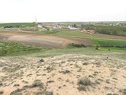
Vallesa de la Guareña is a municipality located in the province of Zamora, Castile and León, Spain. According to the 2015 census (INE), the municipality has a population of 106 inhabitants.
History

Cross of the medieval Order of Knights Hospitaller
Transportation
CL-605
ZA-L-2110
Main sights
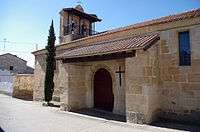
- The Church of San Juan Bautista.
- The Mudéjar Church of San Andrés in Olmo de La Guareña from the 13th century, recently protected as B.I.C.
References
- ↑ "Alteraciones de los municipios en los Censos de Población desde 1842 - Vallesa de La Guareña". Retrieved 17 February 2015. Population figures from 1 January 2015.
External links
This article is issued from Wikipedia - version of the 5/4/2016. The text is available under the Creative Commons Attribution/Share Alike but additional terms may apply for the media files.