Warnertown, South Australia
| Warnertown South Australia | |
|---|---|
  Warnertown | |
| Coordinates | 33°14′01″S 138°07′04″E / 33.2335°S 138.1177°ECoordinates: 33°14′01″S 138°07′04″E / 33.2335°S 138.1177°E |
| Postcode(s) | 5540 |
| Location |
|
| LGA(s) | Port Pirie Regional Council |
| State electorate(s) | Frome |
| Federal Division(s) | Grey |
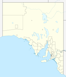
Warnertown is a settlement in South Australia.[1] At the 2006 census, Warnertown had a population of 532.[2] It lies on the Augusta Highway between Crystal Brook and Port Pirie.[3]
References
- ↑ "2905.0 - Statistical Geography: Volume 2 -- Census Geographic Areas, Australia, 2006". Australian Bureau of Statistics. Retrieved 8 December 2009.
- ↑ Australian Bureau of Statistics (25 October 2007). "Warnertown (State Suburb)". 2006 Census QuickStats. Retrieved 30 October 2011.
- ↑ Google (18 September 2014). "Warnertown" (Map). Google Maps. Google. Retrieved 18 September 2014.
This article is issued from Wikipedia - version of the 3/12/2015. The text is available under the Creative Commons Attribution/Share Alike but additional terms may apply for the media files.