Wayside, Mississippi
| Wayside, Mississippi | |
|---|---|
| Unincorporated community | |
|
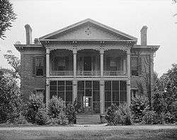
Belmont Plantation in Wayside is listed on the National Register of Historic Places | |
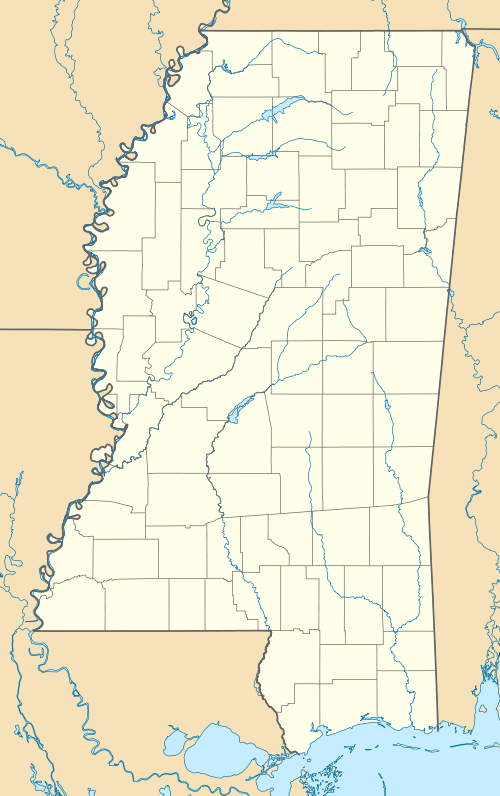  Wayside, Mississippi | |
| Coordinates: Mississippi#USA 33°16′08″N 91°02′01″W / 33.26889°N 91.03361°WCoordinates: Mississippi#USA 33°16′08″N 91°02′01″W / 33.26889°N 91.03361°W | |
| Country | United States |
| State | Mississippi |
| County | Washington |
| Elevation | 121 ft (37 m) |
| Time zone | Central (CST) (UTC-6) |
| • Summer (DST) | CDT (UTC-5) |
| ZIP code | 38756 |
| GNIS feature ID | 679401[1] |
Wayside is an unincorporated community in Washington County, Mississippi, United States.[1]
The settlement has a post office, and is located on Mississippi Highway 1 approximately 8 mi (13 km) south of Greenville.[2]
History
The Belmont Plantation was located in Wayside. The plantation home was completed in 1859,[3] and has been described as "one of the few antebellum homes in the region not burned by rampaging Union soldiers".[4] The extant home was placed on the National Register of Historic Places in 1972.[5]
Wayside was originally located directly on the Mississippi River at the eastern end of "American Bend", and the early settlement had a steamboat landing. The river changed course following a flood in 1858, cutting off the bend and creating an oxbow lake now called Lake Lee.[6][7]
A branch of the Louisville, New Orleans and Texas Railway, completed in the late 1880s, passed through Wayside.[3]
In 1900, the population was 65.[8]
On October 9, 2009, a tornado destroyed three mobile homes, damaged 16 houses and knocked down trees. A fatality occurred in a mobile home, and two others were injured.
References
- 1 2 "Wayside". Geographic Names Information System. United States Geological Survey.
- ↑ "Wayside Post Office". Geographic Names Information System. United States Geological Survey.
- 1 2 Hall, Russell S.; Nowell, Princella W.; Childress, Stacy (2000). Washington County, Mississippi. Arcadia. pp. 21, 46.
- ↑ The Majesty of the Mississippi Delta. Pelican. 2005. p. 54.
- ↑ "Belmont". National Park Service. Retrieved November 12, 2016.
- ↑ Halloran, Mary Helen Griffin (2009). A Mississippi Family: The Griffins of Magnolia Terrace, Griffin’s Refuge, and Greenville 1800-1950. iUniverse. p. 98.
- ↑ Bragg, Marion (1977). Historic Names and Places on the Lower Mississippi River (PDF). Mississippi River Commission. pp. 135, 136.
- ↑ Rowland, Dunbar (1907). Mississippi: Comprising Sketches of Counties, Towns, Events, Institutions, and Persons, Arranged in Cyclopedic Form. 2. Southern Historical Publishing Association. p. 945.
Municipalities and communities of Washington County, Mississippi, United States | ||
|---|---|---|
| Cities | 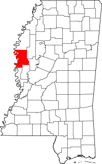 | |
| Towns | ||
| Unincorporated communities | ||
| Ghost towns | ||