Le Val-de-Guéblange
For other uses, see Guéblange-lès-Dieuze.
| Le Val-de-Guéblange | ||
|---|---|---|
| ||
  Le Val-de-Guéblange | ||
|
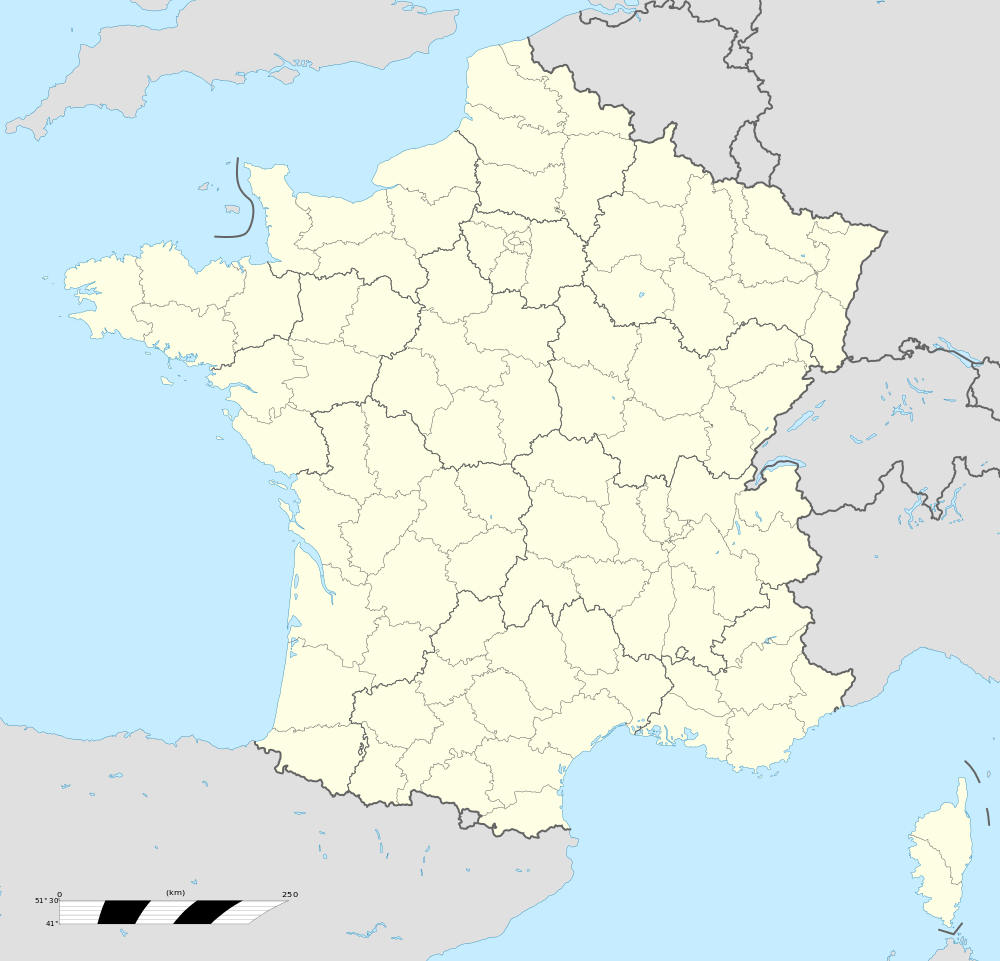
Location within Grand Est region  Le Val-de-Guéblange | ||
| Coordinates: 48°58′49″N 6°57′41″E / 48.9803°N 6.9614°ECoordinates: 48°58′49″N 6°57′41″E / 48.9803°N 6.9614°E | ||
| Country | France | |
| Region | Grand Est | |
| Department | Moselle | |
| Arrondissement | Sarreguemines | |
| Canton | Sarralbe | |
| Intercommunality | Communauté de communes de l'Albe et des Lacs | |
| Government | ||
| • Mayor (2008–2014) | Aloyse Reb | |
| Area1 | 19.08 km2 (7.37 sq mi) | |
| Population (1999)2 | 904 | |
| • Density | 47/km2 (120/sq mi) | |
| Time zone | CET (UTC+1) | |
| • Summer (DST) | CEST (UTC+2) | |
| INSEE/Postal code | 57267 / 57430 | |
| Elevation |
211–261 m (692–856 ft) (avg. 187 m or 614 ft) | |
|
1 French Land Register data, which excludes lakes, ponds, glaciers > 1 km² (0.386 sq mi or 247 acres) and river estuaries. 2 Population without double counting: residents of multiple communes (e.g., students and military personnel) only counted once. | ||

Le Val-de-Guéblange (Lorraine Franconian Gewlingedal) is a commune in the Moselle department in Grand Est in north-eastern France.
Localities of the commune: Audviller, Schweix, Steinbach, Wentzviller.
Geography
- Audviller
- Schweix
- Steinbach
- Wentzviller
Population
| Historical population | ||
|---|---|---|
| Year | Pop. | ±% |
| 1793 | 113 | — |
| 1800 | 116 | +2.7% |
| 1806 | 130 | +12.1% |
| 1821 | 1,054 | +710.8% |
| 1836 | 1,225 | +16.2% |
| 1841 | 1,195 | −2.4% |
| 1861 | 1,104 | −7.6% |
| 1866 | 1,049 | −5.0% |
| 1871 | 1,101 | +5.0% |
| 1875 | 1,117 | +1.5% |
| 1880 | 1,153 | +3.2% |
| 1885 | 1,125 | −2.4% |
| 1890 | 1,101 | −2.1% |
| 1895 | 1,089 | −1.1% |
| 1900 | 1,135 | +4.2% |
| 1905 | 1,076 | −5.2% |
| 1910 | 1,011 | −6.0% |
| 1921 | 912 | −9.8% |
| 1926 | 893 | −2.1% |
| 1931 | 898 | +0.6% |
| 1936 | 883 | −1.7% |
| 1946 | 847 | −4.1% |
| 1954 | 912 | +7.7% |
| 1962 | 977 | +7.1% |
| 1968 | 977 | +0.0% |
| 1975 | 916 | −6.2% |
| 1982 | 882 | −3.7% |
Sites and Monuments
- Passage of a Roman road.
- Formerly a castle dominated the valley ( the present church of the valley was built on the location). The squires to fill the moats, had the bad idea to divert Alba. So many frogs settled around the castle and prevented them from sleeping . To not be disturbed in their sleep by these frogs, people did the extermination of the castle ... The villagers had to get up at night and suddenly shovels, killed all the frogs . Since frogs found in the emblem of the valley of Guéblange .
Clubs
- Dance club of the foyer Jolival
- Country Top Dance, Country dance club
See also

This article is issued from Wikipedia - version of the 11/6/2016. The text is available under the Creative Commons Attribution/Share Alike but additional terms may apply for the media files.