Weogufka, Alabama
| Weogufka, Alabama | |
|---|---|
| Census-designated place | |
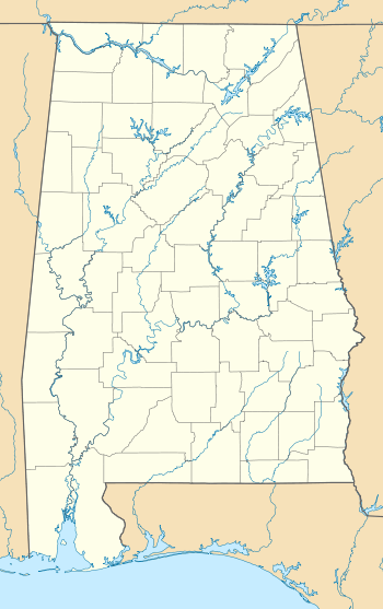  Weogufka | |
| Coordinates: 33°00′59″N 86°18′44″W / 33.01639°N 86.31222°WCoordinates: 33°00′59″N 86°18′44″W / 33.01639°N 86.31222°W | |
| Country | United States |
| State | Alabama |
| County | Coosa |
| Area[1] | |
| • Total | 8.323 sq mi (21.56 km2) |
| • Land | 8.262 sq mi (21.40 km2) |
| • Water | 0.061 sq mi (0.16 km2) |
| Elevation | 646 ft (197 m) |
| Population (2010)[2] | |
| • Total | 282 |
| • Density | 34/sq mi (13/km2) |
| Time zone | Central (CST) (UTC-6) |
| • Summer (DST) | CDT (UTC-5) |
| Area code(s) | 256 & 938 |
| GNIS feature ID | 158102[3] |
Weogufka is a census-designated place and unincorporated community in Coosa County, Alabama, United States. Its population was 282 as of the 2010 census.[4]
Demographics
| Historical population | |||
|---|---|---|---|
| Census | Pop. | %± | |
| 1920 | 171 | — | |
| 2010 | 282 | — | |
| U.S. Decennial Census[5] | |||
Weogufka was previously listed on the 1920 U.S. Census as an incorporated community. It did not appear again on the census until 2010 when it became a census-designated place.
References
- ↑ "US Gazetteer files: 2010, 2000, and 1990". United States Census Bureau. 2011-02-12. Retrieved 2011-04-23.
- ↑ "American FactFinder". United States Census Bureau. Retrieved 2011-05-14.
- ↑ "Weogufka". Geographic Names Information System. United States Geological Survey.
- ↑ "Geographic Identifiers: 2010 Demographic Profile Data (G001): Weogufka CDP, Alabama". U.S. Census Bureau, American Factfinder. Retrieved June 9, 2014.
- ↑ "U.S. Decennial Census". Census.gov. Retrieved June 6, 2013.
Municipalities and communities of Coosa County, Alabama, United States | ||
|---|---|---|
| Towns | 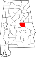 | |
| CDPs | ||
| Unincorporated communities | ||
| Footnotes | ‡This populated place also has portions in an adjacent county or counties | |
This article is issued from Wikipedia - version of the 1/13/2016. The text is available under the Creative Commons Attribution/Share Alike but additional terms may apply for the media files.