West Pinjarra, Western Australia
| West Pinjarra Western Australia | |||||||
|---|---|---|---|---|---|---|---|
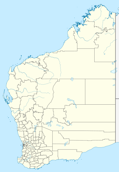  West Pinjarra | |||||||
| Coordinates | 32°38′34″S 115°48′56″E / 32.64279°S 115.81567°ECoordinates: 32°38′34″S 115°48′56″E / 32.64279°S 115.81567°E | ||||||
| Population | 397 (2011 census)[1] | ||||||
| Postcode(s) | 6208 | ||||||
| Location | |||||||
| LGA(s) | Shire of Murray | ||||||
| State electorate(s) | Murray-Wellington | ||||||
| Federal Division(s) | Canning | ||||||
| |||||||
West Pinjarra is a suburb of the town of Pinjarra in the Peel Region of Western Australia. Its local government area is the Shire of Murray.
It is a predominantly industrial suburb, with many engineering and manufacturing facilities located there. It is connected to other parts of WA by the Forrest Highway and Pinjarra Road.
References
- ↑ Australian Bureau of Statistics (31 October 2012). "West Pinjarra (State Suburb)". 2011 Census QuickStats. Retrieved 2012-10-31.
This article is issued from Wikipedia - version of the 10/20/2016. The text is available under the Creative Commons Attribution/Share Alike but additional terms may apply for the media files.