Windermere, New South Wales
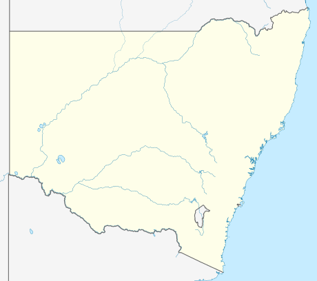

Windermere is a suburb of the City of Maitland local government area in the Hunter Region of New South Wales, Australia, approximately 14 km (8.7 mi) from the Maitland CBD.[1][2][5] It is named after the Windermere estate.[2]
References
- 1 2 3 "Suburb Search - Local Council Boundaries - Hunter (HT) - Maitland City Council". New South Wales Division of Local Government. Retrieved 17 August 2013.
- 1 2 3 4 "Windermere". Geographical Names Register (GNR) of NSW. Geographical Names Board of New South Wales. Retrieved 17 August 2013.
- ↑ "Maitland". New South Wales Electoral Commission. 24 September 2012. Retrieved 17 August 2013.
- ↑ "Hunter". Australian Electoral Commission. Retrieved 17 August 2013.
- ↑ "Windermere". Land and Property Management Authority - Spatial Information eXchange. New South Wales Land and Property Information. Retrieved 17 August 2013.
This article is issued from Wikipedia - version of the 6/8/2016. The text is available under the Creative Commons Attribution/Share Alike but additional terms may apply for the media files.