Yéréré
| Yéréré | |
|---|---|
| Commune and town | |
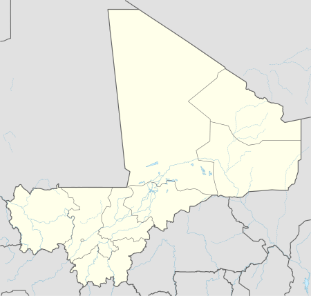  Yéréré Location in Mali | |
| Coordinates: ML 15°15′32″N 9°25′37″W / 15.259°N 9.427°WCoordinates: ML 15°15′32″N 9°25′37″W / 15.259°N 9.427°W | |
| Country |
 Mali Mali |
| Region | Kayes Region |
| Cercle | Nioro Cercle |
| Area[1] | |
| • Total | 300 km2 (100 sq mi) |
| Population (2009 census)[2] | |
| • Total | 14,408 |
| • Density | 48/km2 (120/sq mi) |
| Time zone | GMT (UTC+0) |
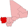
Yéréré is a small town and commune in the Cercle of Nioro in the Kayes Region of western Mali. The commune lies on the border with Mauritania.
References
- ↑ Plan de Sécurite Alimentaire Commune Rurale de Yéréré 2007-2011 (PDF) (in French), Commissariat à la Sécurité Alimentaire, République du Mali, USAID-Mali, 2006.
- ↑ Resultats Provisoires RGPH 2009 (Région de Kayes) (in French), République de Mali: Institut National de la Statistique, archived from the original (PDF) on September 19, 2012.
This article is issued from Wikipedia - version of the 7/21/2016. The text is available under the Creative Commons Attribution/Share Alike but additional terms may apply for the media files.