Argay, Portland, Oregon
| Argay | |
|---|---|
| Neighborhood | |
  Argay | |
|
Coordinates: 45°33′17″N 122°31′16″W / 45.55475°N 122.52114°WCoordinates: 45°33′17″N 122°31′16″W / 45.55475°N 122.52114°W PDF map | |
| Country | United States |
| State | Oregon |
| City | Portland |
| Government | |
| • Association | Argay Neighborhood Association |
| • Coalition | East Portland Neighborhood Office |
| Area | |
| • Total | 1.88 sq mi (4.86 km2) |
| Population (2000)[1] | |
| • Total | 5,788 |
| • Density | 3,080/sq mi (1,191/km2) |
| Housing[1] | |
| • No. of households | 2402 |
| • Occupancy rate | 96% occupied |
| • % households renting | 42% renting |
| • Avg. household size | 2.41 persons |
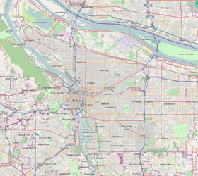
Argay is a neighorhood in the Northeast section of Portland, Oregon. Argay is bounded by the Columbia River on the north, NE 122nd Ave on the west, Interstate 84 on the south, and NE 148th Ave. on the east.
Argay Park (1984) is located here.
References
External links
- Mid-county Memo (local newspaper)
This article is issued from Wikipedia - version of the 10/17/2016. The text is available under the Creative Commons Attribution/Share Alike but additional terms may apply for the media files.