Axtell, Utah
| Axtell | |
|---|---|
| Unincorporated community | |
|
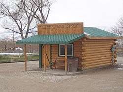
Axtell post office | |
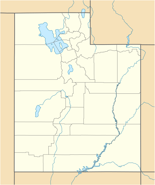  Axtell Location within the state of Utah | |
| Coordinates: 39°3′19″N 111°49′19″W / 39.05528°N 111.82194°WCoordinates: 39°3′19″N 111°49′19″W / 39.05528°N 111.82194°W | |
| Country | United States |
| State | Utah |
| County | Sanpete |
| Settled | 1870 |
| Founded by | Lars Peter Fjeldsted |
| Named for | Samuel Beach Axtell |
| Elevation[1] | 5,151 ft (1,570 m) |
| Time zone | Mountain (MST) (UTC-7) |
| • Summer (DST) | MDT (UTC-6) |
| ZIP codes | 84621 |
| Area code(s) | 435 |
| GNIS feature ID | 1437493[1] |
| Historical population | |||
|---|---|---|---|
| Census | Pop. | %± | |
| 1930 | 266 | — | |
| 1940 | 288 | 8.3% | |
| 1950 | 238 | −17.4% | |
| Source: U.S. Census Bureau[2] | |||
Axtell is an unincorporated community in Sanpete County, Utah, United States, on U.S. Route 89 between Gunnison and Salina. The town was settled in 1870 under the name of Willowcreek.[3] It was renamed for Utah's former territorial governor Samuel Beach Axtell in 1891.[4]
References
- 1 2 U.S. Geological Survey Geographic Names Information System: Axtell, Utah. Retrieved on May 17, 2011.
- ↑ "Census of Population and Housing". U.S. Census Bureau. Retrieved November 4, 2011.
- ↑ Van Cott, John W. (1990). Utah Place Names. Salt Lake City, Utah: University of Utah Press. p. 17. ISBN 0-87480-345-4.
- ↑ Antrei, Albert C.T.; Roberts, Allen D. (January 1999). A History of Sanpete County. Utah Centennial County History Series. Salt Lake City, Utah: Utah State Historical Society. pp. 353–354. ISBN 0-913738-42-5.
Municipalities and communities of Sanpete County, Utah, United States | ||
|---|---|---|
| Cities | 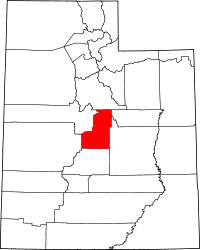 | |
| Towns | ||
| Unincorporated communities | ||
| Ghost towns | ||
This article is issued from Wikipedia - version of the 10/22/2016. The text is available under the Creative Commons Attribution/Share Alike but additional terms may apply for the media files.