Freedom, Utah
| Freedom | |
|---|---|
| Unincorporated community | |
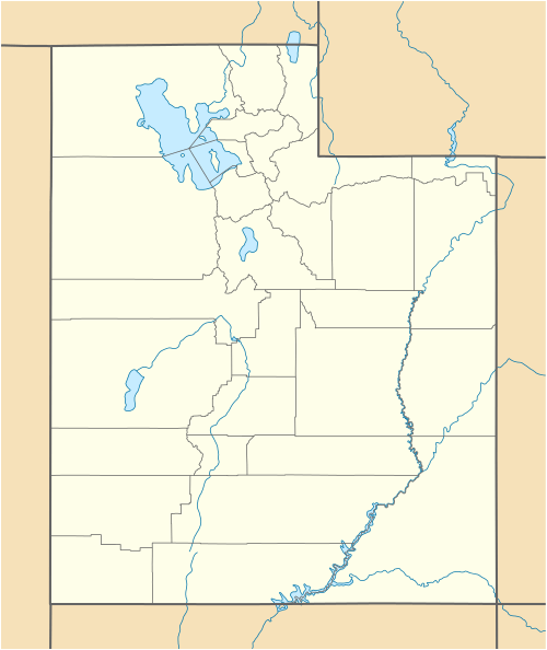  Freedom Location within the state of Utah | |
| Coordinates: 39°32′33″N 111°38′58″W / 39.54250°N 111.64944°WCoordinates: 39°32′33″N 111°38′58″W / 39.54250°N 111.64944°W | |
| Country | United States |
| State | Utah |
| County | Sanpete |
| Settled | 1871 |
| Elevation[1] | 5,787 ft (1,764 m) |
| Time zone | Mountain (MST) (UTC-7) |
| • Summer (DST) | MDT (UTC-6) |
| ZIP codes | 84646 |
| Area code(s) | 435 |
| GNIS feature ID | 1441224[1] |
Freedom is an unincorporated community in Sanpete County, Utah, United States. It is a small agricultural community on SR-30, four miles northwest of Moroni and six miles south of Fountain Green. It was settled in 1871 during a post-Civil War period when several patriotic names developed. The town was originally named Draper for an early settler, but was renamed Freedom in 1877.
| Historical population | |||
|---|---|---|---|
| Census | Pop. | %± | |
| 1880 | 102 | — | |
| 1910 | 124 | — | |
| 1920 | 102 | −17.7% | |
| Source: U.S. Census Bureau[2] | |||
The community has always been closely associated with the town of Moroni, even being included in its census precinct through most of its history.
References
- 1 2 U.S. Geological Survey Geographic Names Information System: Freedom, Utah. Retrieved May 18, 2011.
- ↑ "Census of Population and Housing". U.S. Census Bureau. Retrieved October 20, 2011.
Municipalities and communities of Sanpete County, Utah, United States | ||
|---|---|---|
| Cities | 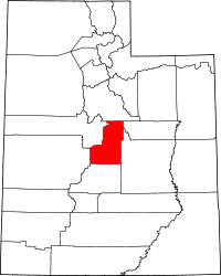 | |
| Towns | ||
| Unincorporated communities | ||
| Ghost towns | ||
This article is issued from Wikipedia - version of the 1/24/2014. The text is available under the Creative Commons Attribution/Share Alike but additional terms may apply for the media files.