Blackbutt, New South Wales
| Blackbutt Shellharbour, New South Wales | |||||||||||||
|---|---|---|---|---|---|---|---|---|---|---|---|---|---|
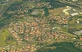 Aerial view from the east. | |||||||||||||
| Coordinates | 34°34.3′S 150°50.3′E / 34.5717°S 150.8383°ECoordinates: 34°34.3′S 150°50.3′E / 34.5717°S 150.8383°E | ||||||||||||
| Population | 3,106 (2006)[1] | ||||||||||||
| Postcode(s) | 2529 | ||||||||||||
| LGA(s) | City of Shellharbour | ||||||||||||
| State electorate(s) | Shellharbour | ||||||||||||
| Federal Division(s) | Whitlam | ||||||||||||
| |||||||||||||
Blackbutt is a southern suburb of Shellharbour, New South Wales, Australia. The eastern half of the suburb is occupied by the Blackbutt Forest Reserve.
References
- ↑ Australian Bureau of Statistics (25 October 2007). "Blackbutt (State Suburb)". 2006 Census QuickStats. Retrieved 2010-01-16.
This article is issued from Wikipedia - version of the 7/12/2016. The text is available under the Creative Commons Attribution/Share Alike but additional terms may apply for the media files.