Boré, Mali
| Boré | |
|---|---|
| Village | |
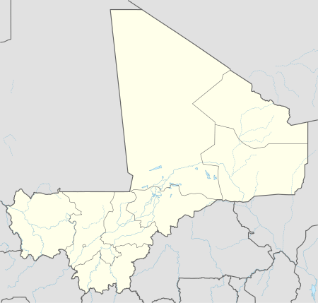  Boré Location in Mali | |
| Coordinates: 15°7′59″N 3°29′17″W / 15.13306°N 3.48806°WCoordinates: 15°7′59″N 3°29′17″W / 15.13306°N 3.48806°W | |
| Country |
 Mali Mali |
| Region | Mopti Region |
| Cercle | Douentza Cercle |
| Commune | Dangol Boré |
| Time zone | GMT (UTC+0) |
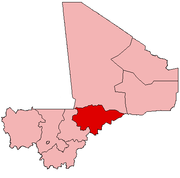
Boré is a village and seat of the rural commune of Dangol Boré in the Cercle of Douentza in the Mopti Region of southern-central Mali.[1] The village is on the main highway, the RN15, that links Mopti and Douentza.
References
- ↑ Communes de la Région de Mopti (PDF) (in French), Ministère de l’administration territoriale et des collectivités locales, République du Mali, archived from the original (PDF) on 2012-09-19.
This article is issued from Wikipedia - version of the 11/6/2016. The text is available under the Creative Commons Attribution/Share Alike but additional terms may apply for the media files.