Dia, Mali
| Dia | |
|---|---|
| Town | |
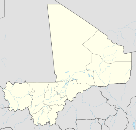  Dia Location in Mali | |
| Coordinates: 14°21′7″N 4°57′25″W / 14.35194°N 4.95694°WCoordinates: 14°21′7″N 4°57′25″W / 14.35194°N 4.95694°W | |
| Country |
 Mali Mali |
| Region | Mopti Region |
| Cercle | Ténenkou Cercle |
| Commune | Diaka |
| Time zone | GMT (UTC+0) |
Dia is a small town and seat of the commune of Diaka in the Cercle of Ténenkou in the Mopti Region of southern-central Mali.[2]
According to Levtzion, the Diakhanke "remember Dia in Massina as the town of their ancestor, Suware, a great marabout and a saint."[3]
References
- ↑ Soundjata ou l'épopée mandingue
- ↑ Communes de la Région de Mopti (PDF) (in French), Ministère de l’administration territoriale et des collectivités locales, République du Mali.
- ↑ Levtzion, Nehemia (1973). Ancient Ghana and Mali. New York: Methuen & Co Ltd. p. 168. ISBN 0841904316.
Further reading
- Bedaux, Rogier; Schmidt, Annette; MacDonald, Kevin; Person, Alain; Polet, Jean; Sanogo, Kléna; Sidibé, Samuel (2001), "The Dia archaeological project: rescuing cultural heritage in the Inland Niger Delta (Mali)", Antiquity, 75 (290): 837–848.
- Bedaux, R.; Polet, J.; Sanogo, K.; et al., eds. (2005), Recherches archéologiques à Dia dans le Delta intérieur du Niger (Mali) : bilan des saisons de fouilles 1998-2003 (PDF) (in French), Leiden: CNWS Publications, ISBN 978-9057891076.
- McIntosh, R.J.; McIntosh, S.K. (1987), "Prospection archéologique aux alentours de Dia, Mali, 1986/1987" (PDF), Nyame Akuma (in French), 29: 42–45.
- Zeitoun, V.; Gatto, E.; Rougier, H.; Sidibé, S. (2004), "Dia Shoma (Mali), a medieval cemetery in the inner Niger delta", International Journal of Osteoarchaeology, 14 (2): 112–125, doi:10.1002/oa.716.
This article is issued from Wikipedia - version of the 9/14/2016. The text is available under the Creative Commons Attribution/Share Alike but additional terms may apply for the media files.