Croton, New Jersey
| Croton, New Jersey | |
|---|---|
| Unincorporated community | |
|
The settlement as seen from Route 12 | |
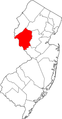
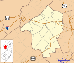  Croton, New Jersey  Croton, New Jersey  Croton, New Jersey Location of Croton in Hunterdon County Inset: Location of county within the state of New Jersey | |
| Coordinates: 40°30′39″N 74°55′49″W / 40.51083°N 74.93028°WCoordinates: 40°30′39″N 74°55′49″W / 40.51083°N 74.93028°W | |
| Country |
 United States United States |
| State |
 New Jersey New Jersey |
| County | Hunterdon |
| Township | Delaware and Raritan |
| Elevation[1] | 505 ft (154 m) |
| GNIS feature ID | 875751[1] |
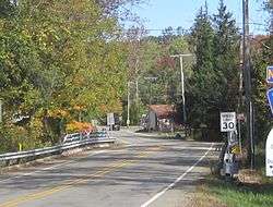
Croton is an unincorporated community located along the border of Delaware and Raritan townships in Hunterdon County, New Jersey, United States.[2] County Route 579 (through which the township line runs down the center line) is the main north-south road through the area which consists of mostly forest within the Hunterdon Plateau and some houses and businesses along Route 579 and nearby New Jersey Route 12.[3] The headwaters of the Wickecheoke Creek are located northeast of Croton before it heads downstream through the community on its way to the Delaware River.
References
- 1 2 "Croton". Geographic Names Information System. United States Geological Survey.
- ↑ Locality Search, State of New Jersey. Accessed January 30, 2015.
- ↑ Google (October 12, 2015). "Aerial view of Croton" (Map). Google Maps. Google. Retrieved October 12, 2015.
This article is issued from Wikipedia - version of the 6/8/2016. The text is available under the Creative Commons Attribution/Share Alike but additional terms may apply for the media files.