Vanlieu Corners, New Jersey
| Vanlieu Corners, New Jersey | |
|---|---|
| Unincorporated community | |
 | |
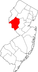
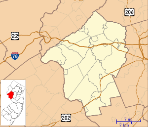  Vanlieu Corners, New Jersey  Vanlieu Corners, New Jersey  Vanlieu Corners, New Jersey Location of Vanlieu Corners in Hunterdon County; inset: location of county within the state of New Jersey | |
| Coordinates: 40°26′39″N 74°48′22″W / 40.44417°N 74.80611°WCoordinates: 40°26′39″N 74°48′22″W / 40.44417°N 74.80611°W | |
| Country |
 United States United States |
| State |
 New Jersey New Jersey |
| County | Hunterdon |
| Township | East Amwell |
| Elevation | 57 m (187 ft) |
| Time zone | Eastern (EST) (UTC-5) |
| • Summer (DST) | EDT (UTC-4) |
| GNIS feature ID | 881433[1] |
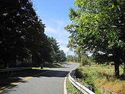
Vanlieu Corners (also Van Liew's Corners) is an unincorporated community in East Amwell Township in Hunterdon County, New Jersey, United States.[1][2]
In 1881, the settlement consisted of a small cluster of residences, surrounding the Chamberlin & Van Liew store. Vanlieu Corners was in the same school district as Wertsville.[3] Today, the area is at the corner of Wertsville Road (County Route 602) and Rileyville Road (CR 607) and consists of mostly farmland on the north slope of the Sourland Mountain.[4]
References
- 1 2 U.S. Geological Survey Geographic Names Information System: Vanlieu Corners
- ↑ Locality Search, State of New Jersey. Accessed June 9, 2016. Listed as Vanliews Corners.
- ↑ Snell, James P. (1881). History of Hunterdon and Somerset Counties, New Jersey. Everts & Peck. p. 356.
- ↑ Google (September 12, 2015). "Aerial view of Vanlieu Corners" (Map). Google Maps. Google. Retrieved September 12, 2015.
This article is issued from Wikipedia - version of the 6/10/2016. The text is available under the Creative Commons Attribution/Share Alike but additional terms may apply for the media files.