Daganbhuiyan Upazila
| Dagonbhuiyan দাগনভূইয়া | |
|---|---|
| Upazila | |
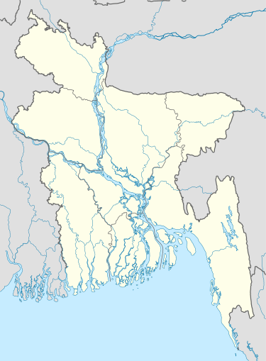  Dagonbhuiyan Location in Bangladesh | |
| Coordinates: 22°56.3′N 91°18.3′E / 22.9383°N 91.3050°ECoordinates: 22°56.3′N 91°18.3′E / 22.9383°N 91.3050°E | |
| Country |
 Bangladesh Bangladesh |
| Division | Chittagong Division |
| District | Feni District |
| Area | |
| • Total | 165.84 km2 (64.03 sq mi) |
| Population (auto) | |
| • Total | 204,975 |
| • Density | 1,236/km2 (3,200/sq mi) |
| Time zone | BST (UTC+6) |
| Website | Official Map of Dagonbhuiyan |
Dagonbhuiyan (Bengali: দাগনভূইয়া) is an Upazila of Feni District[1] in the Division of Chittagong, Bangladesh. Dagonbhuiyan is a commercial centre with one of Bangladesh's biggest cotton spinning mills.
Geography
Dagonbhuiyan is located at 22°56′15″N 91°18′15″E / 22.9375°N 91.3042°E. It has 34750 households and a total area of 165.84 km².
Demographics
According to the 1991 Bangladesh census, Dagonbhuiyan had a population of 204, 975. Males constituted 49.4% of the population, and females 50.6%. The population aged 18 or over was 95, 809. Dagonbhuiyan had an average literacy rate of 40.7% (7+ years), against the national average of 32.4%.[2]
Administration
Dagonbhuiyan has 8 Union Parishad. The Union Parishads are:
- Daganbhuiyan Union Parishad
- Jaylashkar Union Parishad
- Matubhuiyan Union Parishad
- Purba Chandrapur Union Parishad
- Rajapur Union Parishad
- Ramnagar Union Parishad
- Sindurpur Union Parishad
- Yakubpur Union Parishad
See also
Famous Educational Institution 1.Ataturk Model High School 2.Dagonbhuiyan Academy 3.Dagonbhuiyan Girls School 4.Iqbal Memorial Degree College etc.
References
- ↑ Mohiuddin Hossain Mohin (2012), "Daganbhuiyan Upazila", in Sirajul Islam and Ahmed A. Jamal, Banglapedia: National Encyclopedia of Bangladesh (Second ed.), Asiatic Society of Bangladesh
- ↑ "Population Census Wing, BBS.". Archived from the original on 2005-03-27. Retrieved November 10, 2006.
| Upazila/Thana: | | |
|---|---|---|


- Islami Bishokowsh part no -05 p-424
- Tasnifate lokmani, 1st edition, Emdadia offset press, feni 2013
- Ishaqia atim khanar etihas by abdus sattar,1978,Feni
- Bangladesher pir- owliagon,2nd edition