Ukhia Upazila
| Ukhiya উখিয়া | |
|---|---|
| Upazila | |
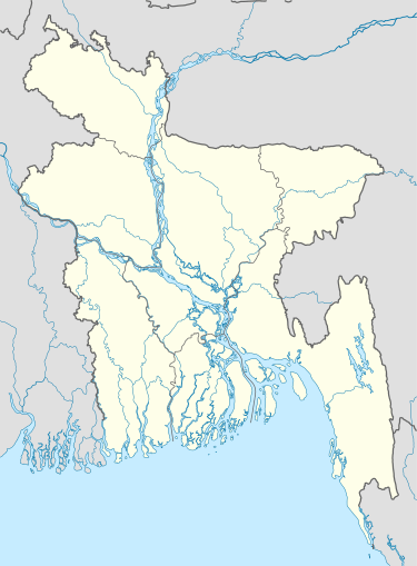  Ukhiya Location in Bangladesh | |
| Coordinates: 21°17′N 92°6′E / 21.283°N 92.100°ECoordinates: 21°17′N 92°6′E / 21.283°N 92.100°E | |
| Country |
 Bangladesh Bangladesh |
| Division | Chittagong Division |
| District | Cox's Bazar District |
| Area | |
| • Total | 261.8 km2 (101.1 sq mi) |
| Population (1991) | |
| • Total | 121,514 |
| • Density | 460/km2 (1,200/sq mi) |
| Time zone | BST (UTC+6) |
| Website | bazar/Ukhia.gif Official Map of Ukhia |
Ukhiya (Bengali: উখিয়া) is an Upazila of Cox's Bazar District in the Division of Chittagong, Bangladesh.[1]
Geography
Ukhia is located at 21°17′00″N 92°06′00″E / 21.2833°N 92.1000°E . It has 19189 households and total area 261.8 km².
Demographics
As of the 1991 Bangladesh census, Ukhia has a population of 121514. Males constitute 51.45% of the population, and females 48.55%. This Upazila's eighteen up population is 51749. Ukhia has an average literacy rate of 16.8% (7+ years), and the national average of 32.4% literate.[2]
Administration
Ukhia has 5 Unions/Wards, 13 Mauzas/Mahallas, and 54 villages.
Education
High Schools: Palong Model High School, Ukhiya govt. High School Rumkha Palong High School, Sonar Para High School, Kutupalong High School, Kutupalong Primary School.
Media
NGO Working
SHED (Society for Health Extension & Development), Brac, Pulse Bangladesh, Nacom, Muslim Aid, Uddipon, Rtm etc
See also
References
- ↑ Chowdhury, Towhid Hossain (2012). "Ukhia Upazila". In Islam, Sirajul; Jamal, Ahmed A. Banglapedia: National Encyclopedia of Bangladesh (Second ed.). Asiatic Society of Bangladesh.
- ↑ "Population Census Wing, BBS.". Archived from the original on March 27, 2005. Retrieved November 10, 2006.
| Upazila/Thana: | | |
|---|---|---|
