Khagrachhari Sadar Upazila
| Khagrachari খাগড়াছড়ি | |
|---|---|
| Upazila | |
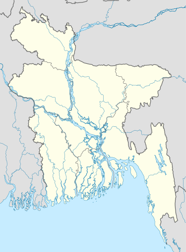  Khagrachari Location in Bangladesh | |
| Coordinates: 23°2.5′N 91°59.7′E / 23.0417°N 91.9950°ECoordinates: 23°2.5′N 91°59.7′E / 23.0417°N 91.9950°E | |
| Country |
 Bangladesh Bangladesh |
| Division | Chittagong Division |
| District | Khagrachari District |
| Area | |
| • Total | 297.92 km2 (115.03 sq mi) |
| Population (1991) | |
| • Total | 61,306 |
| • Density | 210/km2 (530/sq mi) |
| Time zone | BST (UTC+6) |
| Website | Official Map of Khagrachhari |
Khagrachari or Khagrachhari (Bengali: খাগড়াছড়ি) is an Upazila of Khagrachari District in the Division of Chittagong, Bangladesh.
Geography
Khagrachari is located at 23°02′30″N 91°59′40″E / 23.0417°N 91.9944°E . It has 11989 households and total area 297.92 km².
Demographics
According to the 1991 Bangladesh census, Khagrachhari had a population of 61, 306. Males constituted 54.02% of the population, and females 45.98%. The population aged 18 or over was 32, 215. Khagrachhari had an average literacy rate of 33.7% (7+ years), against the national average of 32.4%.[1]
Administration
Chairman:
Vice Chairman: Nirapod Taalookdar (Independent)
Woman Vice Chairman:
Upazila Nirbahi Officer (UNO):
Khagrachhari has 8 Unions/Wards, 39 Mauzas/Mahallas, and 77 villages.
There are two government middle schools and one government college (high school) in Kharachari upazila.
See also
References
- ↑ "Population Census Wing, BBS.". Archived from the original on 2005-03-27. Retrieved November 10, 2006.
| Upazila/Thana: | | |
|---|---|---|

