Greenleaf, Oregon
| Greenleaf | |
|---|---|
| Unincorporated community | |
|
Greenleaf highway marker | |
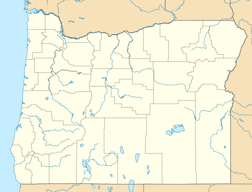  Greenleaf  Greenleaf Location within the state of Oregon | |
| Coordinates: 44°06′49″N 123°40′01″W / 44.11361°N 123.66694°WCoordinates: 44°06′49″N 123°40′01″W / 44.11361°N 123.66694°W | |
| Country | United States |
| State | Oregon |
| County | Lane |
| Time zone | Pacific (PST) (UTC-8) |
| • Summer (DST) | PDT (UTC-7) |
| ZIP codes | 97430 |
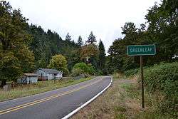
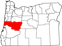
Greenleaf is an unincorporated community in Lane County, Oregon, United States.[1] Greenleaf lies on Oregon Route 36 east of Deadwood and west of Triangle Lake.
The name Greenleaf was first applied to the community about 1885, and when a post office was established in the area in 1892, the same name was used.[2] The name may refer to the abundance of bigleaf maple trees in the area.[2] Greenleaf is also the name of a creek that flows into Lake Creek where the post office was first located.[2] The post office was moved in 1908 about 3 miles (5 km) down Lake Creek.[2] Greenleaf post office closed in 1987;[3] Greenleaf now has a Deadwood mailing address.[4]
The 1928 Lake Creek Bridge near Greenleaf is a covered bridge listed on the National Register of Historic Places.[5]
References
- ↑ "Feature Query Results". United States Board on Geographic Names, United States Geological Survey. Retrieved 2008-07-29.
- 1 2 3 4 McArthur, Lewis A.; Lewis L. McArthur (2003) [1928]. Oregon Geographic Names (Seventh ed.). Portland, Oregon: Oregon Historical Society Press. p. 429. ISBN 0-87595-277-1.
- ↑ "Post Offices by State: OREGON Post Offices". United States Postal Service. Retrieved March 26, 2014.
- ↑ "ZIP Code Lookup". United States Postal Service. Retrieved March 26, 2014.
- ↑ Travel Oregon.com
.jpg)