Minhla, Bago
| Minhla မင္းလွ | |
|---|---|
| Town | |
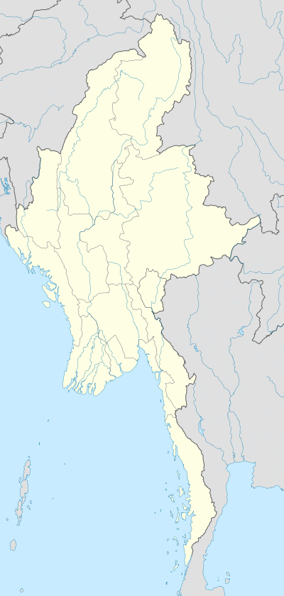  Minhla Location in Myanmar | |
| Coordinates: 17°58′40″N 95°42′25″E / 17.97778°N 95.70694°ECoordinates: 17°58′40″N 95°42′25″E / 17.97778°N 95.70694°E | |
| Country |
 Myanmar Myanmar |
| Region | Bago Region |
| District | Tharrawaddy District |
| Township | Minhla Township |
| Time zone | MST (UTC+6.30) |
Minhla is a town and seat of Minhla Township, Tharrawaddy District, in the Bago Region of southern-central Myanmar. It lies approximately 20 kilometres south of Okpho off National Highway 2.[1][2] It is located roughly 155 kilometres north of Yangon. Its population in 1908 was 2553.[3] Minhla was occupied during the Third Anglo-Burmese War.
References
- ↑ Google Maps (Map). Google.
- ↑ Bing Maps (Map). Microsoft and Harris Corporation Earthstar Geographics LLC.
- ↑ Sir William Stevenson Meyer (1908). Imperial gazetteer of India ... Clarendon Press, Great Britain. India Office. p. 359.
External links
Capital: Minhla | |
|
Capital: Bago | ||||||||
| East Bago Region |   | |||||||
| West Bago Region | ||||||||
| Main cities and towns |
| |||||||
This article is issued from Wikipedia - version of the 11/6/2016. The text is available under the Creative Commons Attribution/Share Alike but additional terms may apply for the media files.