Nozières, Cher
| Nozières | |
|---|---|
|
The church of Saint-Paxent, in Nozières | |
  Nozières | |
|
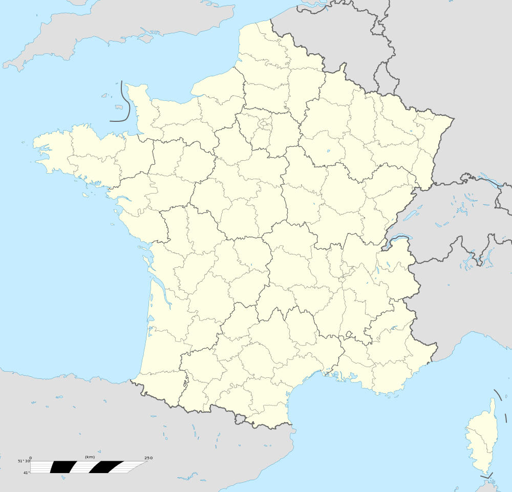
Location within Centre-Val de Loire region 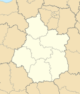 Nozières | |
| Coordinates: 46°43′55″N 2°26′06″E / 46.7319°N 2.435°ECoordinates: 46°43′55″N 2°26′06″E / 46.7319°N 2.435°E | |
| Country | France |
| Region | Centre-Val de Loire |
| Department | Cher |
| Arrondissement | Saint-Amand-Montrond |
| Canton | Saint-Amand-Montrond |
| Intercommunality | Cœur de France |
| Government | |
| • Mayor (2008–2014) | Jean-Baptiste Baudon |
| Area1 | 10.35 km2 (4.00 sq mi) |
| Population (2008)2 | 230 |
| • Density | 22/km2 (58/sq mi) |
| Time zone | CET (UTC+1) |
| • Summer (DST) | CEST (UTC+2) |
| INSEE/Postal code | 18169 / 18200 |
| Elevation |
144–224 m (472–735 ft) (avg. 225 m or 738 ft) |
|
1 French Land Register data, which excludes lakes, ponds, glaciers > 1 km² (0.386 sq mi or 247 acres) and river estuaries. 2 Population without double counting: residents of multiple communes (e.g., students and military personnel) only counted once. | |
.JPG)
Nozières is a commune in the Cher department in the Centre region of France.
Geography
A farming area comprising a village and several hamlets situated by the banks of the river Cher, some 24 miles (39 km) south of Bourges, at the junction of the D142 with the D925 roads. The A71 autoroute runs through the centre of the commune’s territory.
Population
| Historical population | ||
|---|---|---|
| Year | Pop. | ±% |
| 1962 | 180 | — |
| 1968 | 189 | +5.0% |
| 1975 | 151 | −20.1% |
| 1982 | 154 | +2.0% |
| 1990 | 228 | +48.1% |
| 1999 | 231 | +1.3% |
| 2008 | 230 | −0.4% |
Sights
- The church of St. Paxent, dating from the eleventh century.
- A sixteenth-century manorhouse.
See also
References
External links
 |
Wikimedia Commons has media related to Nozières (Cher). |
- Annuaire Marie website (French)
- Nozières on the Quid website (French)

This article is issued from Wikipedia - version of the 2/11/2016. The text is available under the Creative Commons Attribution/Share Alike but additional terms may apply for the media files.