Saint-Georges-sur-la-Prée
| Saint-Georges-sur-la-Prée | |
|---|---|
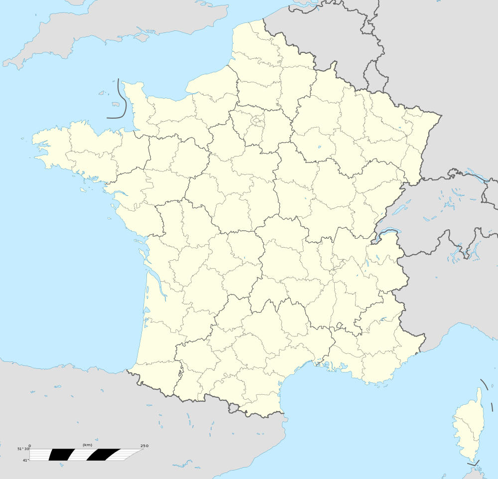  Saint-Georges-sur-la-Prée | |
|
Location within Centre-Val de Loire region 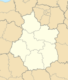 Saint-Georges-sur-la-Prée | |
| Coordinates: 47°13′37″N 1°56′15″E / 47.2269°N 1.9375°ECoordinates: 47°13′37″N 1°56′15″E / 47.2269°N 1.9375°E | |
| Country | France |
| Region | Centre-Val de Loire |
| Department | Cher |
| Arrondissement | Vierzon |
| Canton | Graçay |
| Intercommunality | Vallées vertes du Cher Ouest |
| Government | |
| • Mayor (2008–2014) | Vincent Faucheux |
| Area1 | 22.83 km2 (8.81 sq mi) |
| Population (2008)2 | 341 |
| • Density | 15/km2 (39/sq mi) |
| Time zone | CET (UTC+1) |
| • Summer (DST) | CEST (UTC+2) |
| INSEE/Postal code | 18210 / 18100 |
| Elevation |
91–151 m (299–495 ft) (avg. 122 m or 400 ft) |
|
1 French Land Register data, which excludes lakes, ponds, glaciers > 1 km² (0.386 sq mi or 247 acres) and river estuaries. 2 Population without double counting: residents of multiple communes (e.g., students and military personnel) only counted once. | |
Saint-Georges-sur-la-Prée is a commune in the Cher department in the Centre region of France.
Geography
A farming area comprising the village and a hamlet situated in the Cher River valley, about 4 miles (6.4 km) west of Vierzon at the junction of the D163, D90 and D19 roads.
Population
| Historical population | ||
|---|---|---|
| Year | Pop. | ±% |
| 1962 | 398 | — |
| 1968 | 401 | +0.8% |
| 1975 | 347 | −13.5% |
| 1982 | 367 | +5.8% |
| 1990 | 590 | +60.8% |
| 1999 | 601 | +1.9% |
| 2008 | 641 | +6.7% |
Sights
- The church of St. Georges, dating from the twelfth century.
- The château de Rozay, dating from the fifteenth century.
- A sixteenth-century priory on the foundations of the old abbey of Dèvres.
- A museum and art gallery.
See also
References
External links
 |
Wikimedia Commons has media related to Saint-Georges-sur-la-Prée. |
- Official website of Saint-Georges-sur-la-Prée (French)
- Saint-Georges-sur-la-Prée on the Quid website (French)

This article is issued from Wikipedia - version of the 11/3/2014. The text is available under the Creative Commons Attribution/Share Alike but additional terms may apply for the media files.