Pinery, South Australia
| Pinery South Australia | |||||||||||||
|---|---|---|---|---|---|---|---|---|---|---|---|---|---|
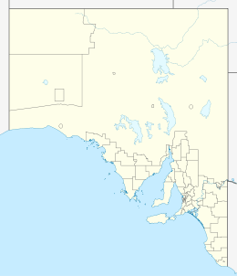  Pinery | |||||||||||||
| Coordinates | 34°18′34″S 138°27′26″E / 34.30944°S 138.45722°ECoordinates: 34°18′34″S 138°27′26″E / 34.30944°S 138.45722°E | ||||||||||||
| Population | 279 (2006 census)[1] | ||||||||||||
| Postcode(s) | 5460 | ||||||||||||
| Location | 70 km (43 mi) N of Adelaide | ||||||||||||
| LGA(s) | Wakefield Regional Council | ||||||||||||
| State electorate(s) | Goyder | ||||||||||||
| Federal Division(s) | Wakefield | ||||||||||||
| |||||||||||||
Pinery (34°18′34″S 138°27′26″E / 34.30944°S 138.45722°E; postcode: 5460) is a locality in South Australia's lower Mid North.[2] At the 2006 census, Pinery had a population of 279[1] but the locality was included with the town of Owen in the 2011 census (population 634)[3] and residents were not counted separately.
See also
References
- 1 2 Australian Bureau of Statistics (25 October 2007). "Pinery (State Suburb)". 2006 Census QuickStats. Retrieved 26 November 2015.
- ↑ "Search result for Pinery, LOCB (ID: SA0055465)". Property Location Browser. Government of South Australia. Retrieved 26 November 2015.
- ↑ Australian Bureau of Statistics (31 October 2012). "Owen (State Suburb)". 2011 Census QuickStats. Retrieved 26 November 2015.
External links
This article is issued from Wikipedia - version of the 10/27/2016. The text is available under the Creative Commons Attribution/Share Alike but additional terms may apply for the media files.