Sangha, Mali
| Sangha | |
|---|---|
| Commune | |
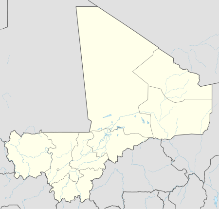  Sangha Location in Mali | |
| Coordinates: 14°27′54″N 3°18′22″W / 14.46500°N 3.30611°WCoordinates: 14°27′54″N 3°18′22″W / 14.46500°N 3.30611°W | |
| Country |
 Mali Mali |
| Region | Mopti Region |
| Cercle | Bandiagara Cercle |
| Population (2009 census)[1] | |
| • Total | 32,513 |
| Time zone | GMT (UTC+0) |
Sangha (sometimes spelled Sanga) is a rural commune in the Cercle of Bandigara in the Mopti Region of Mali. The commune contains around 44 small villages and in the 2009 census had a population of 32,513. The administrative centre (chef-lieu) is the village of Sangha Ogol Leye, one of a cluster of small villages at the top of the Bandiagara Escarpment.
The commune is known as a centre for traditional religion with many temples and shrines, and as a base for visitors to the local Dogon villages. Most of the ethnographic work by Marcel Griaule was carried out among the Dogon of Sangha.
References
- ↑ Resultats Provisoires RGPH 2009 (Région de Mopti) (PDF) (in French), République de Mali: Institut National de la Statistique.
External links
- Plan de Sécurité Alimentaire Commune Rurale de Sangha 2006-2010 (PDF) (in French), Commissariat à la Sécurité Alimentaire, République du Mali, USAID-Mali, 2006.
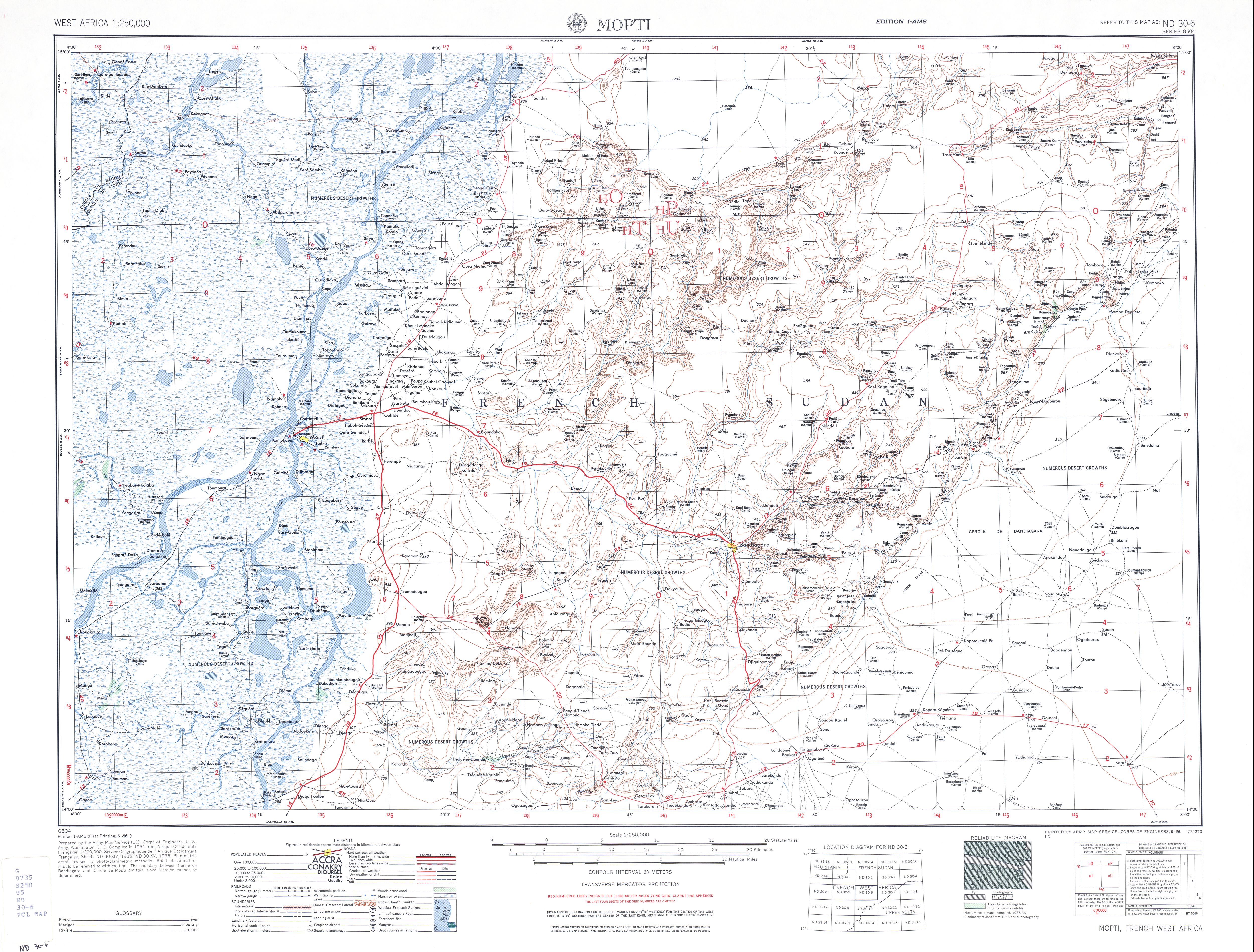
- Map of Mopti and Dogon country, ND 30-6, 1:250,000, University of Texas, US Army, 1954.
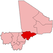
This article is issued from Wikipedia - version of the 3/8/2013. The text is available under the Creative Commons Attribution/Share Alike but additional terms may apply for the media files.