Monohorgonj Upazila
| Monohorgonj মনোহরগঞ্জ | |
|---|---|
| Upazila | |
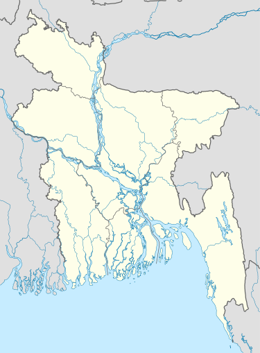  Monohorgonj Location in Bangladesh | |
| Coordinates: 23°10′N 91°4′E / 23.167°N 91.067°ECoordinates: 23°10′N 91°4′E / 23.167°N 91.067°E | |
| Country |
 Bangladesh Bangladesh |
| Division | Chittagong Division |
| District | Comilla District |
| Area | |
| • Total | 166.50 km2 (64.29 sq mi) |
| Time zone | BST (UTC+6) |
Monohorgonj (Bengali: মনোহরগঞ্জ) is an Upazila of Comilla District in the Division of Chittagong, Bangladesh.[1]
Geography
Monohorgonj Upazila is located in the southern part of Comilla District in Bangladesh. The Dakatia River runs through the upazila.
See also
References
- ↑ Abul Kalam Azad (2012). "Manoharganj Upazila". In Sirajul Islam and Ahmed A. Jamal. Banglapedia: National Encyclopedia of Bangladesh (Second ed.). Asiatic Society of Bangladesh.
| Upazila/Thana: | | |
|---|---|---|

This article is issued from Wikipedia - version of the 11/5/2016. The text is available under the Creative Commons Attribution/Share Alike but additional terms may apply for the media files.